| |
|
|
| -- May 19th to 28th, 2024 -- |
| |
|
Saltimbanque sails into the heart of fjord Norway to finally reach a goal we had dreamed of for many years: Bergen!
More photos without much wind in our Photos page.
|
|

195 miles sailed
445 miles since the start
|
|
|
|
| |
|
19 May: Egersund (onshore)
|
|
|
Our first steps in Egersund are not very stable. There was a little bit of swell offshore! The village is charming, we find there the classic attributes of a village of the west coast in the spring: old wooden houses, huge rhododendrons bushes, churches and bible stores (we are in the religious part of the country). And another point of curiosity: a sun hitting hard! So hard that we almost forget that the last snow in Oslo was one month ago!
|
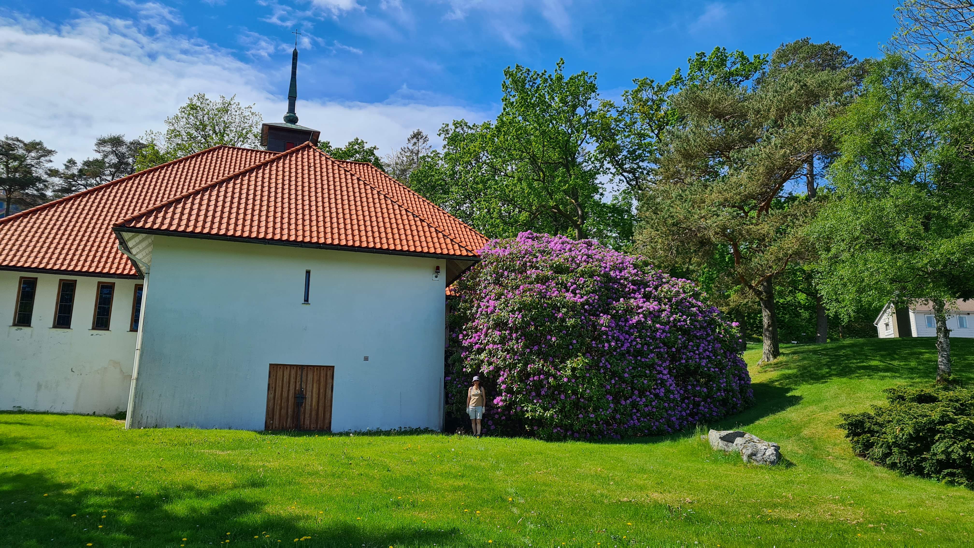
The biggest rhododendron we have ever seen (Laure gives an indication of the scale of the thing!)
|
|
|
There is a north-westerly fresh breeze today, the ideal conditions for a long hike in the hinterland. We discover the local rocks: we are in the "Magma Geopark" and the landscape is made up of deep solidified lava, of the fairly rare “anorthositis” type as it’s called. Very beautiful rocks indeed! On the way back we check out the view from each of the small summits we find. Our educated verdict: it's pretty here!
|
|
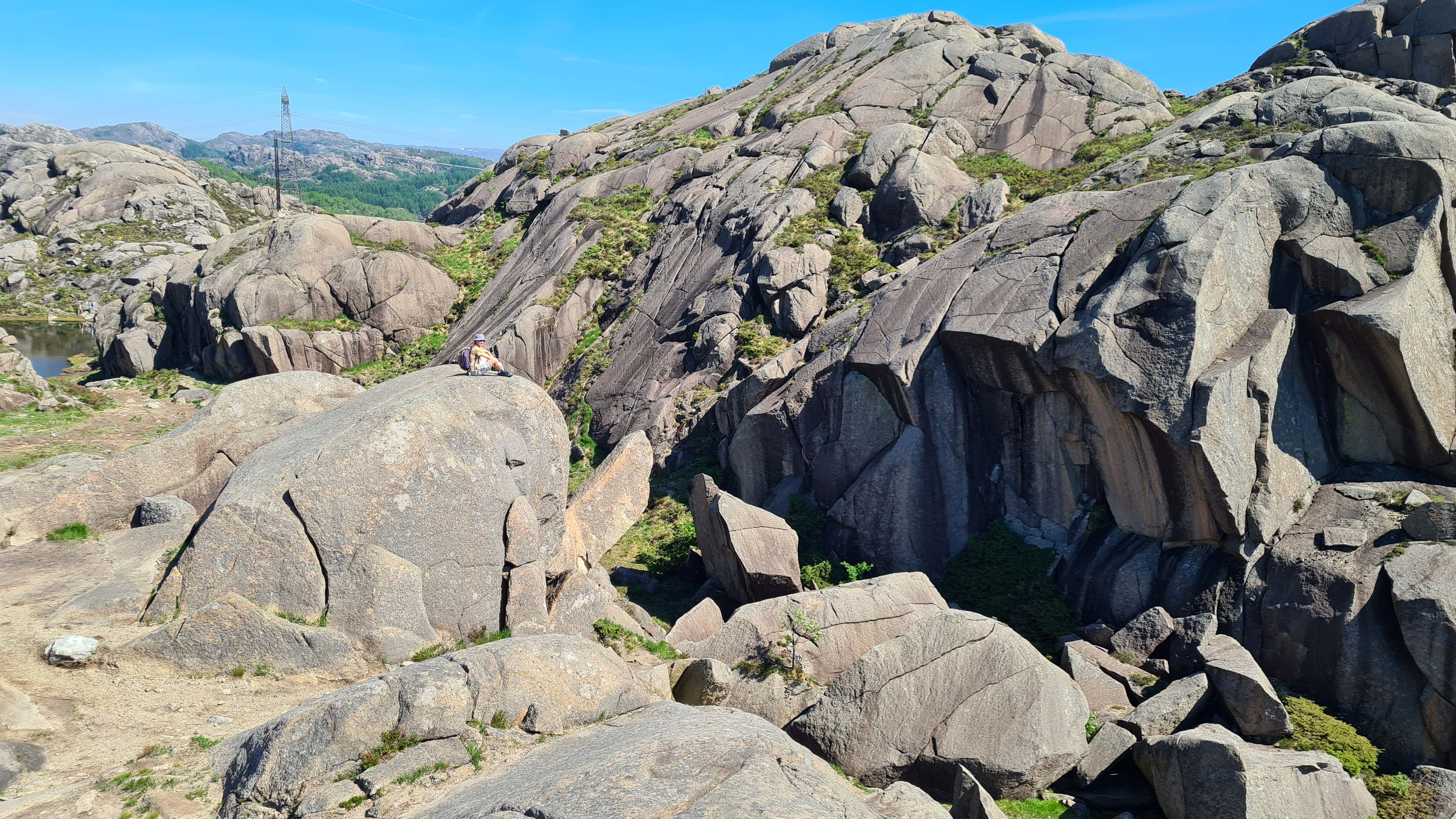
Laure finished the tour riding a mammoth!
|
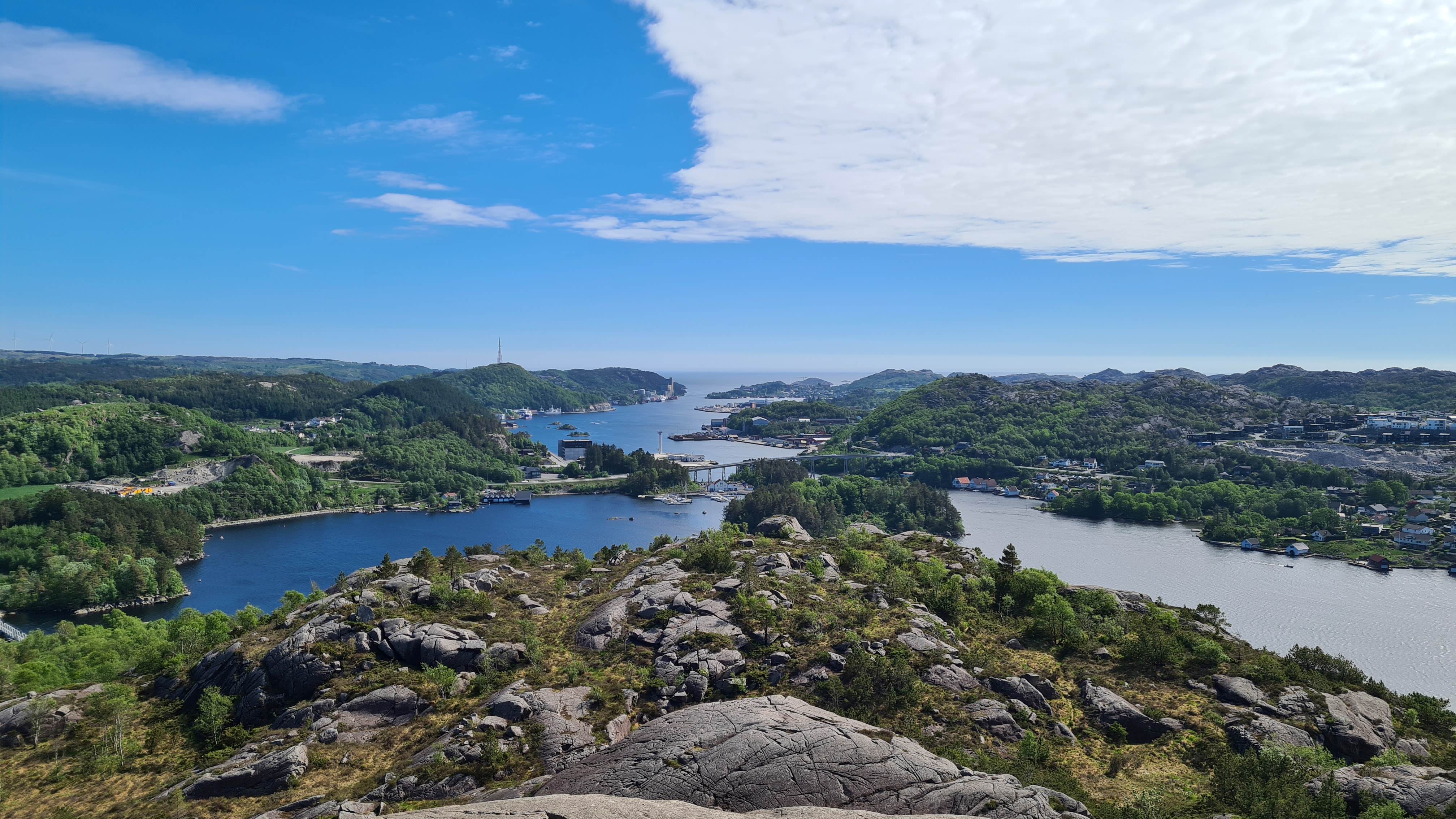
Nice views on the channel towards Egersund
|
|
|
Back to the port, we share the pontoon with a Norwegian charter sailboat and 3 travel boats (Swedish, French and German). We are - of course - the smallest. 13 years ago around the Atlantic, we were part of the very closed club "under 30 years on less than 30 feet". It seems to us today that that of "over 40 years on less than 30 feet" is even more "select"!
|
|
|
20 May : Egersund – Sirevåg (15 M)
|
|
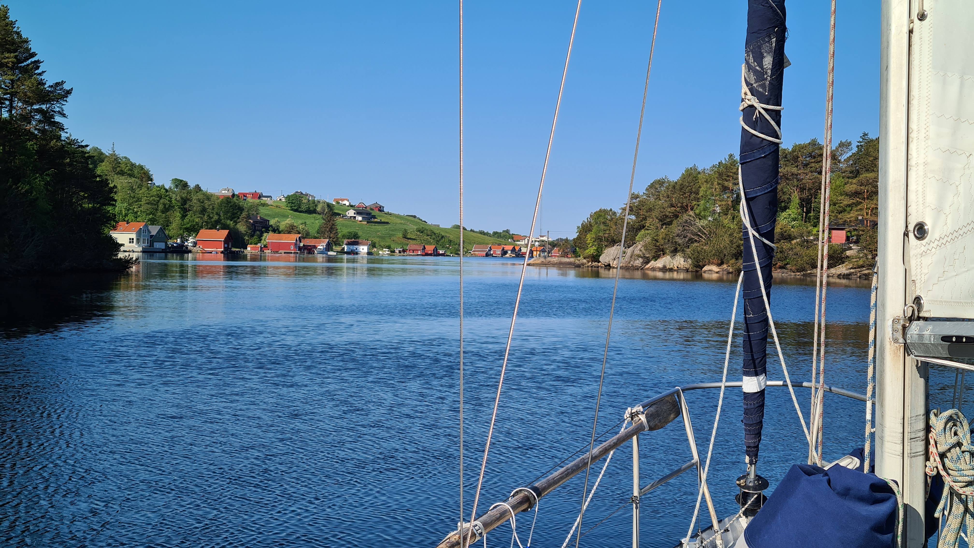
Still a bit too narrow for sailing here...
|
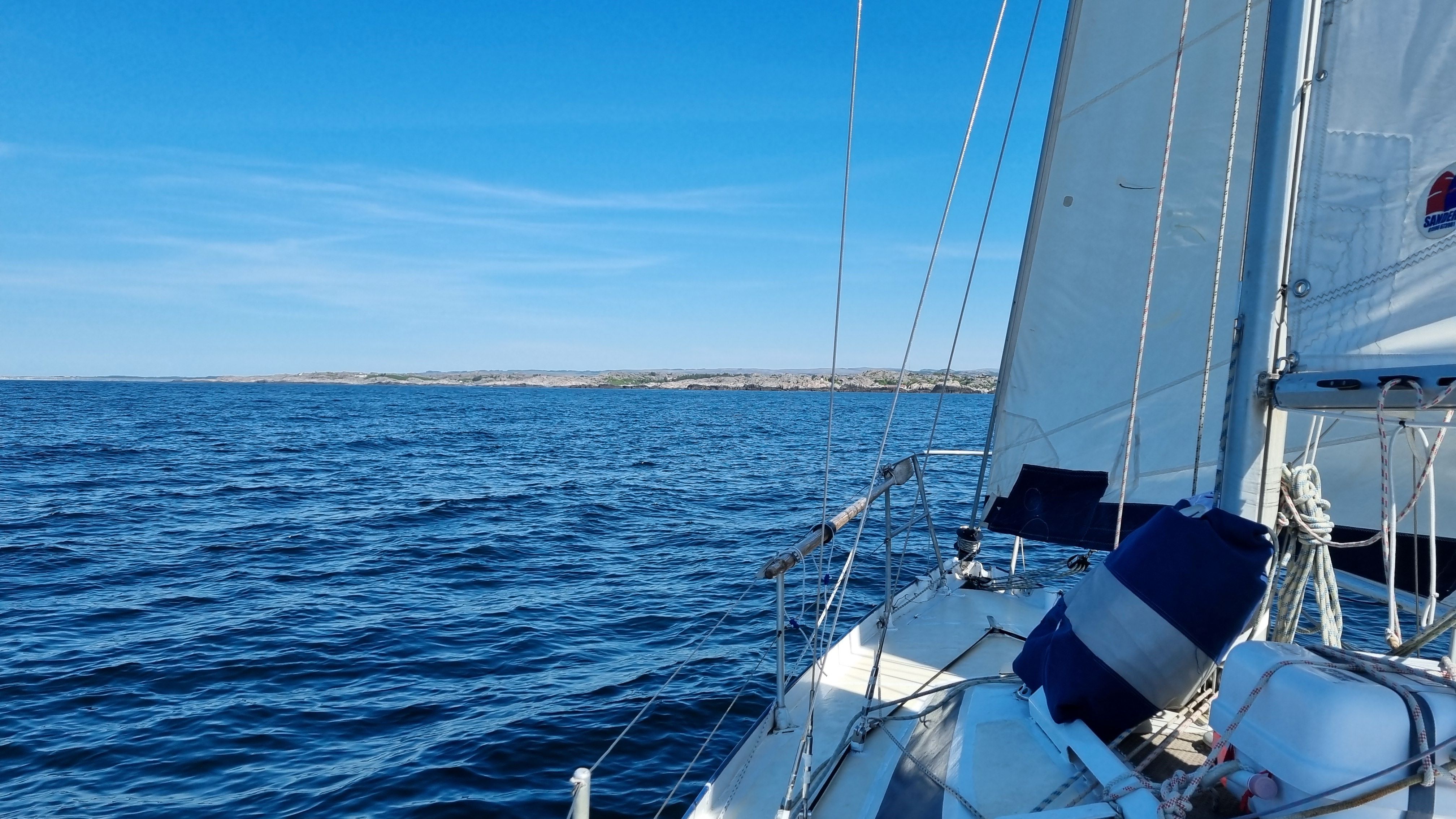
The wind decreased, but veered to the North. We are not thrilled at the idea of sailing 40 miles against the wind along the baren coast of Jæren, tacking for hours…so we decide for a small hop towards Sirevåg, and waiting for better conditions.
We come out from the north of Eigerøy island, and as soon as the channel widens, we set sails: it is more elegant! The progress is poor, let's be clear, barely 3 knots 50 degrees from our heading, but whatever: the weather is nice and we are not in a hurry. Tomorrow there will be force 5 from the southeast, we will have all the time to go fast.
|
|
|
So we take a stroll, one tack towards the open sea, another towards land etc. During one tack near the rocks, our fishing line jumps! Is that the first mackerel of the trip? No, much better than that: it's a pollack that Laure brings up! Our very first pollack!
|
Attention, pollack coming in 5..... 4..... 3.....
|
|
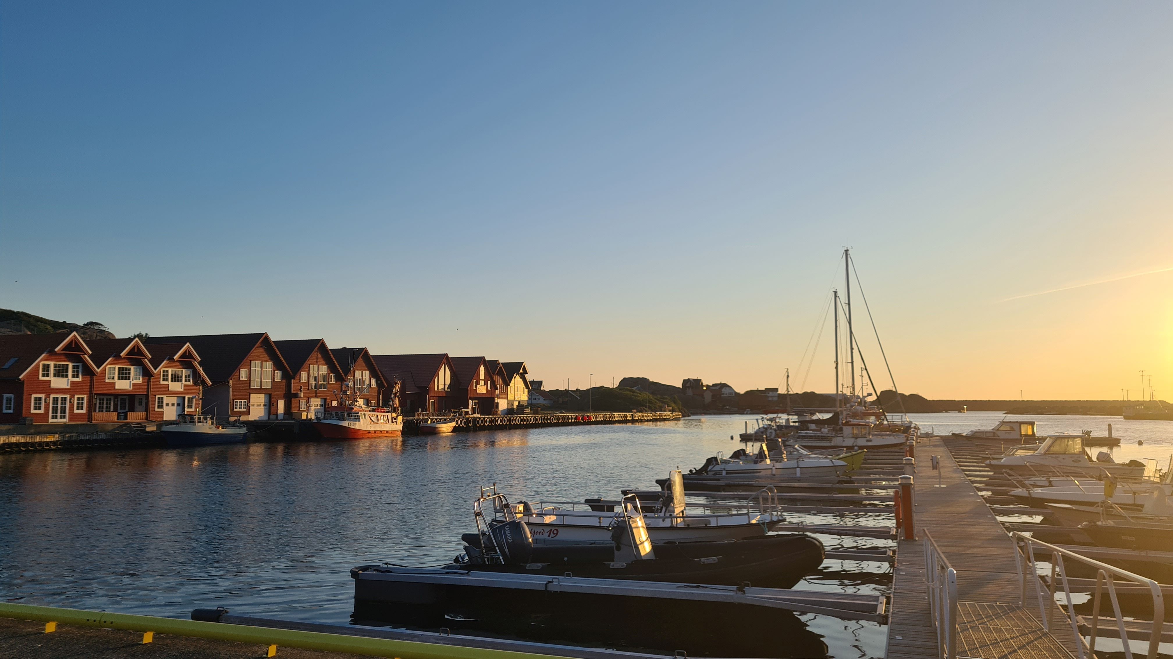
The very quiet tiny harbour of Sirevåg
|
Time to gut it and we arrive at the Sirevåg fishing port, very recently equipped with a visitor pontoon. It's very calm, there seems to be no activity, the perfect place to work on the website before our good dinner!
|
|
|
21 May : Sirevåg – Tau (49 M)
|
|
|
Let's go for the big downwind day promised by all the weather models! In fact as soon as we leave the port we are heading at almost 6 knots towards Rauna Island which marks the start of Jæren. This surprisingly flat 24-mile, skjærgård-free area in southwest Norway is the country's longest exposed coastline. It therefore has a sinister reputation…
|
|
|
The wind is not expected to be that strong, we should be fine. Especially since it seems to soften a little, then a lot, then too much! The sea is like a mirror and Junior will have to work for hours to get us forward... On the other hand, these are ideal conditions for admiring the coastline and studying the numerous guillemots that lively around the boat. We also witness astonishing mirages which create a multitude of ghost islands which appear and disappear on the horizon, very impressive!
|
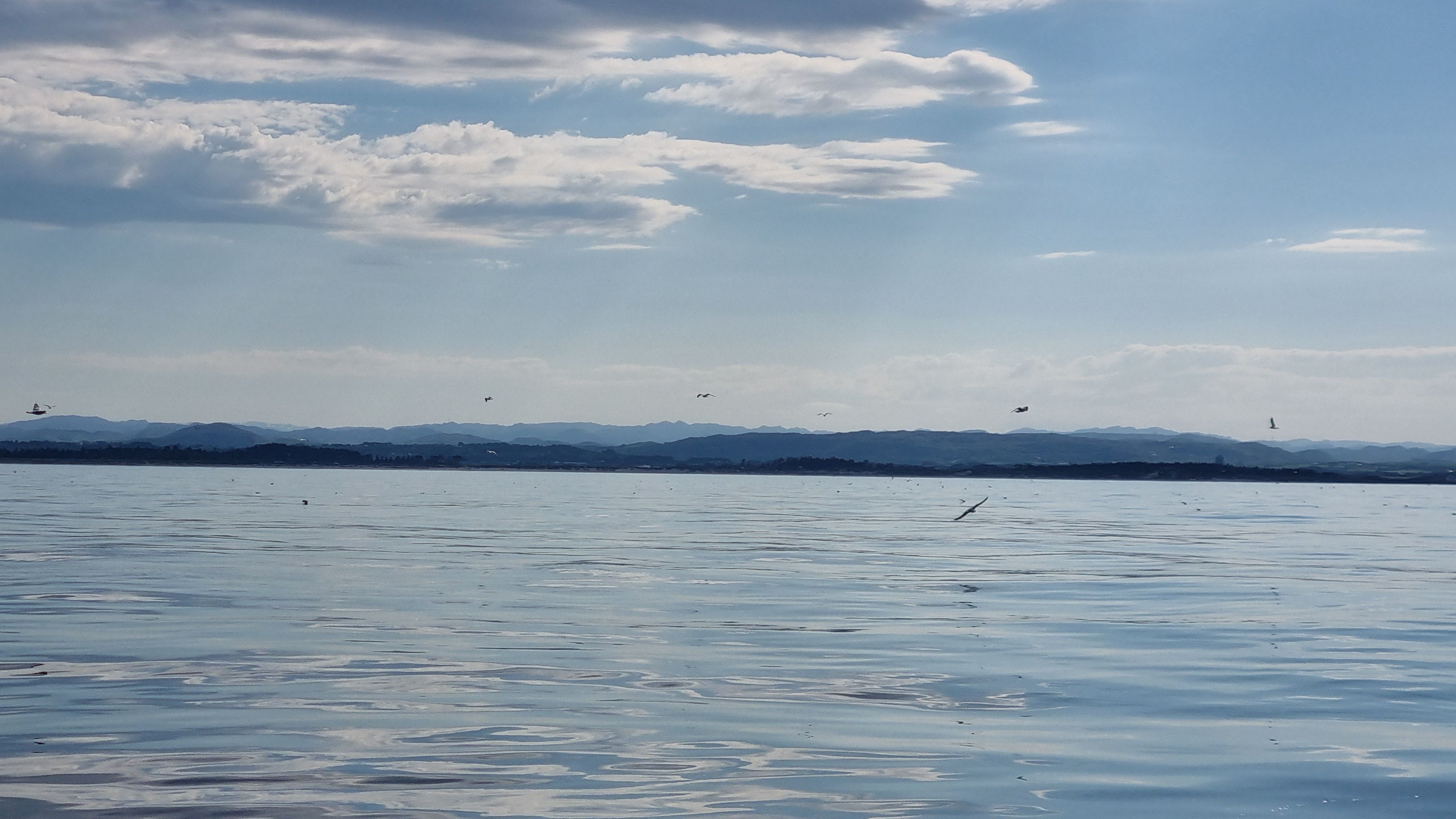
The dangerously exposed shore of Jæren and its dozens of birds
|
|
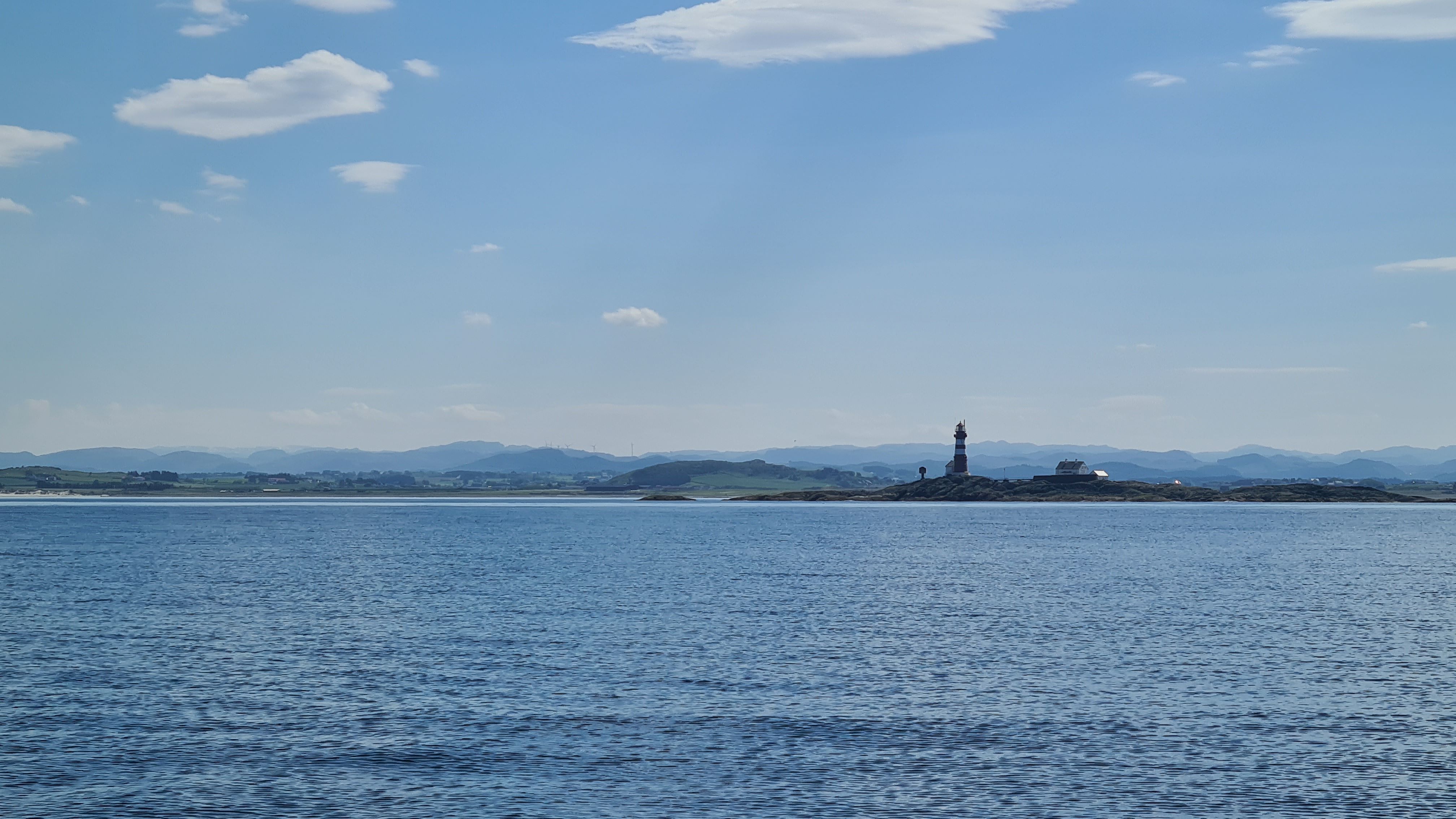
Very nice lighthouse (Feistein) just before reaching Stavanger
|
The wind finally picks up shortly before noon, from the West after all, and not very strong, but we are not picky. With these very pleasant conditions we enter the fjords surrounding Stavanger, and their dozens of islands. We sail passed the country's oil capital just as the first drops of rain of the trip fall, and under a continuous ballet of helicopters bound for the offshore platforms.
|
|
|
Direction Tau, to the very east of the bay, in Ryfylke. The navigation is calm, between cargo ships on route, cargo ships anchored, pretty islands, and with this majestic mountain panorama on the horizon. We are now in the heart of fjord Norway…
|
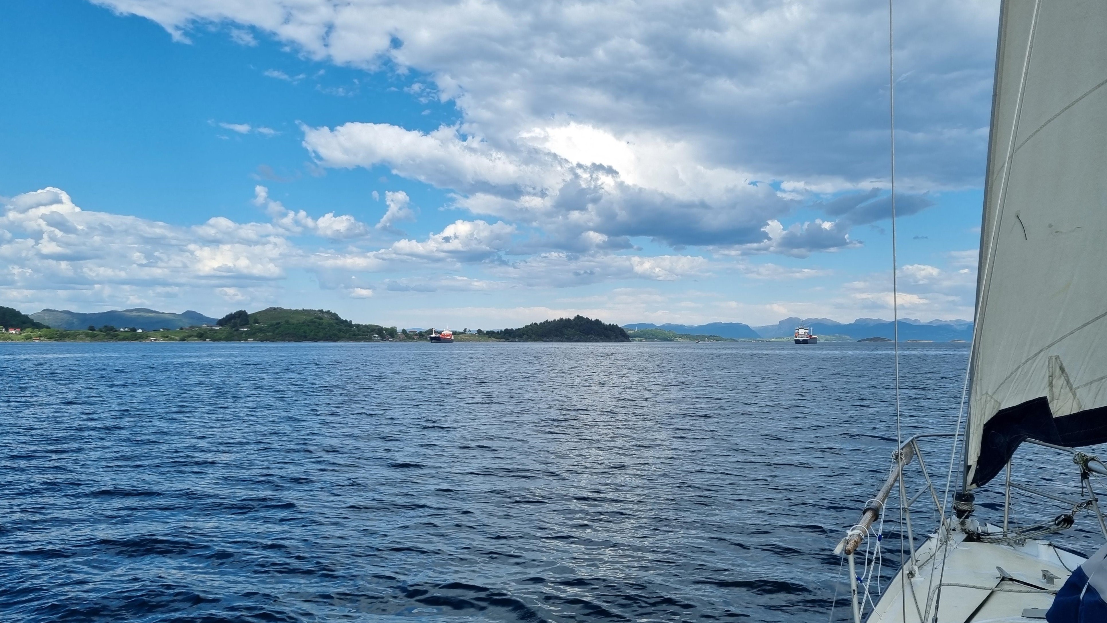
Easy, there is plenty of space in between the anchored ship and the island!
|
|
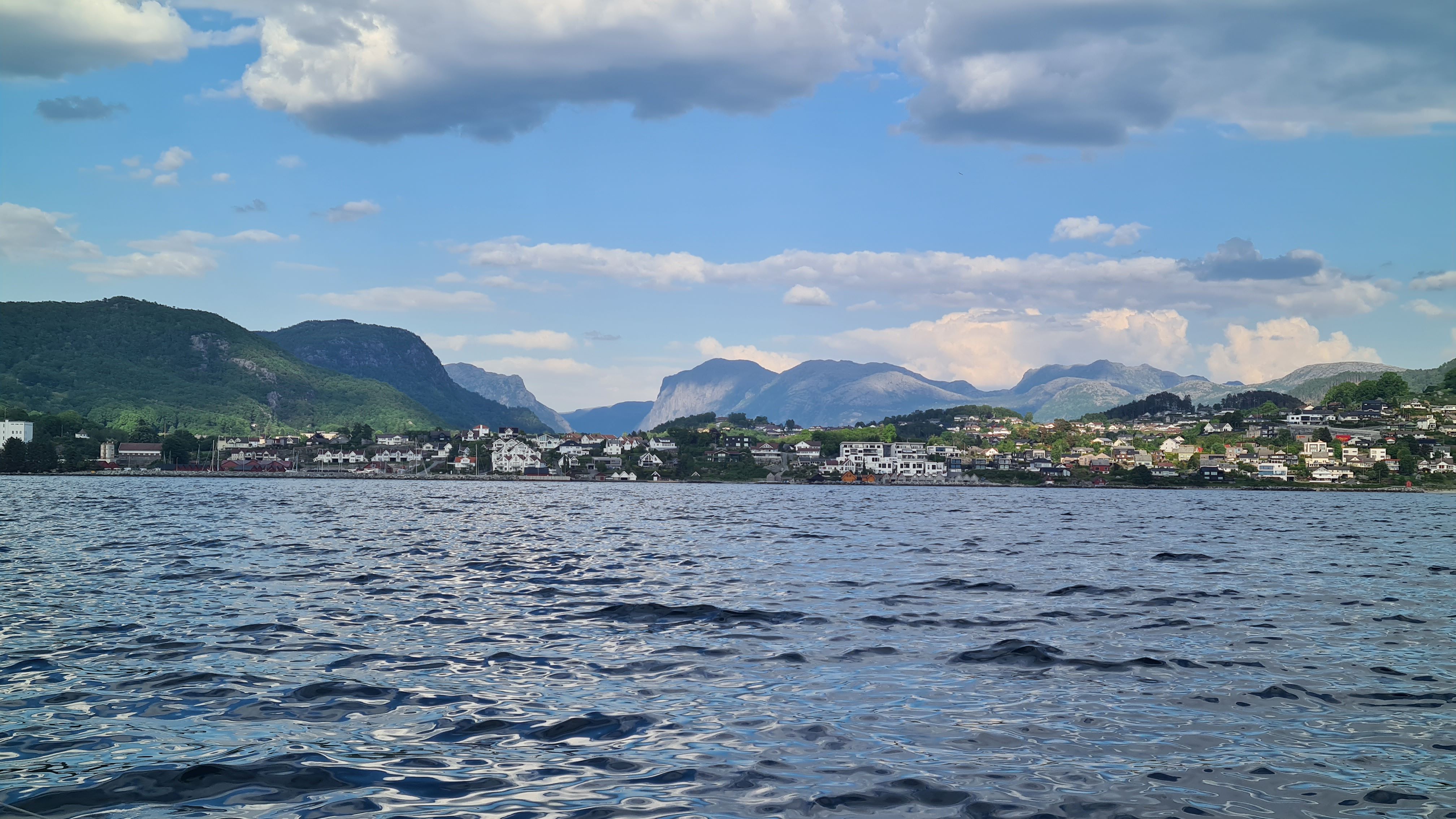
Not the most welcoming harbour, but the surroundings are worth the trip!
|
The arrival at Tau is not the easiest (who got the idea to place large rocks underwater just in front of the visitor's quay), but in the end we finally find an available place, probably the last. Far too many sailboats and campervans here! Crowds undoubtedly due to the famous Preikestolen hike which starts close to here. But hey, at least there’s a shower, that’s something!
|
|
|
22 May : Tau – Vikevåg (14M)
|
|
|
Today’s forecast: strong easterly wind, especially in the afternoon. But thanks to our position upwind of the area we can go for a ride in the morning. The plan is to sail into the open Høgsfjord to see the high mountains cut by the fjords.
|
|
|
The navigation is easy despite impressive local gusts: when the easterly wind (from the land) is channelled by fjords almost 1000m high, it blows out on the water with increased force. The spectacle was worth it – and then we make our way to the island of Rennesøy under the genoa alone, half furled, where we hope to find good shelter.
|
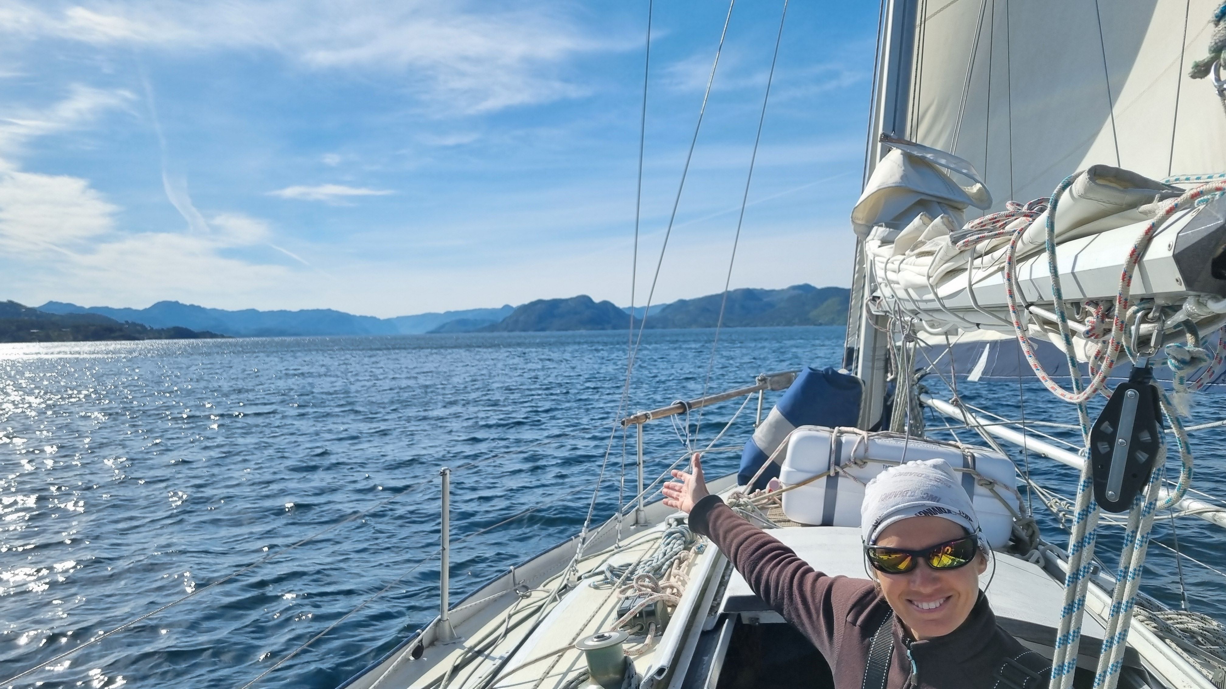
Over there do the fjords begin...
|
|
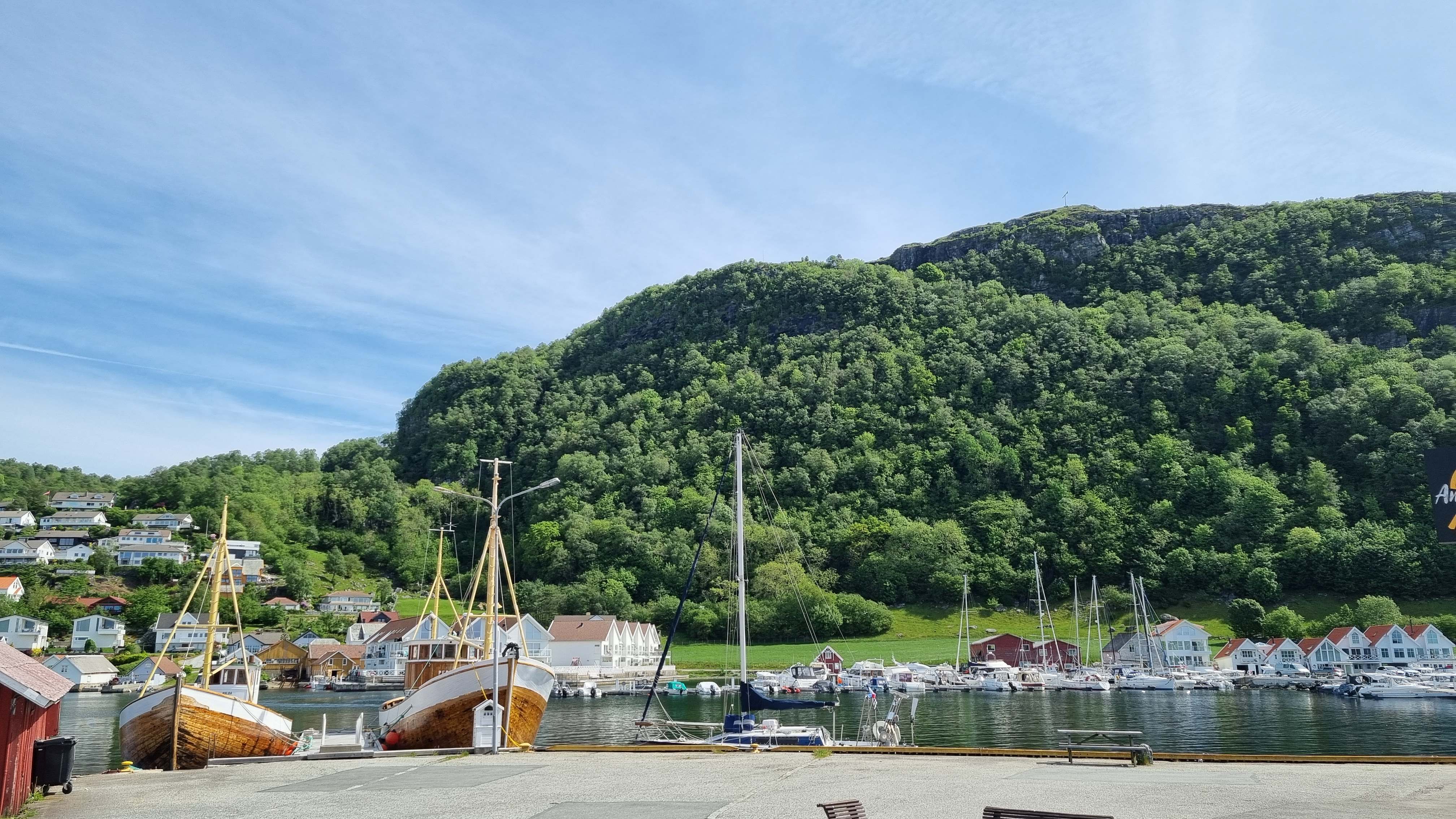
Charming small harbour of Vikevåg, on Rennesøy island.
|
The katabatic gusts chase us almost to the entrance to the port, but luckily the inner harbour is relatively protected. Even remarkably protected at the guest pontoon which is conveniently free. The surroundings are superb: we are just behind 2 beautiful old wooden boats, in a small sun-drenched village at the foot of a vertical green cliff.
|
|
It's probably the last day of good weather, better make the most of it: as soon as we're moored, we jump into our hiking shoes to climb the nearest peak. Rennesøy has been occupied since the Stone Age, Wikipedia even claims that it is home to the oldest traces of human occupation in Norway. The remains of farms and water mills organized along the main gorge on the east face are more recent, but it is still interesting to note mankind’s influence on the landscapes: several species of trees grow near the water, each with its own use (the wood of one is used to make clogs, the bark of another to feed animals – and, as flour, humans…). The top of the island is covered with “lynghei”: a landscape resulting from ancient deforestation, a mixture of grass and low brush, mainly pastures. Indeed, there are (by far) more sheep than humans in the area!
The island is the highest in the area (more than 200 m) and offers us a magnificent walk and beautiful views.
|
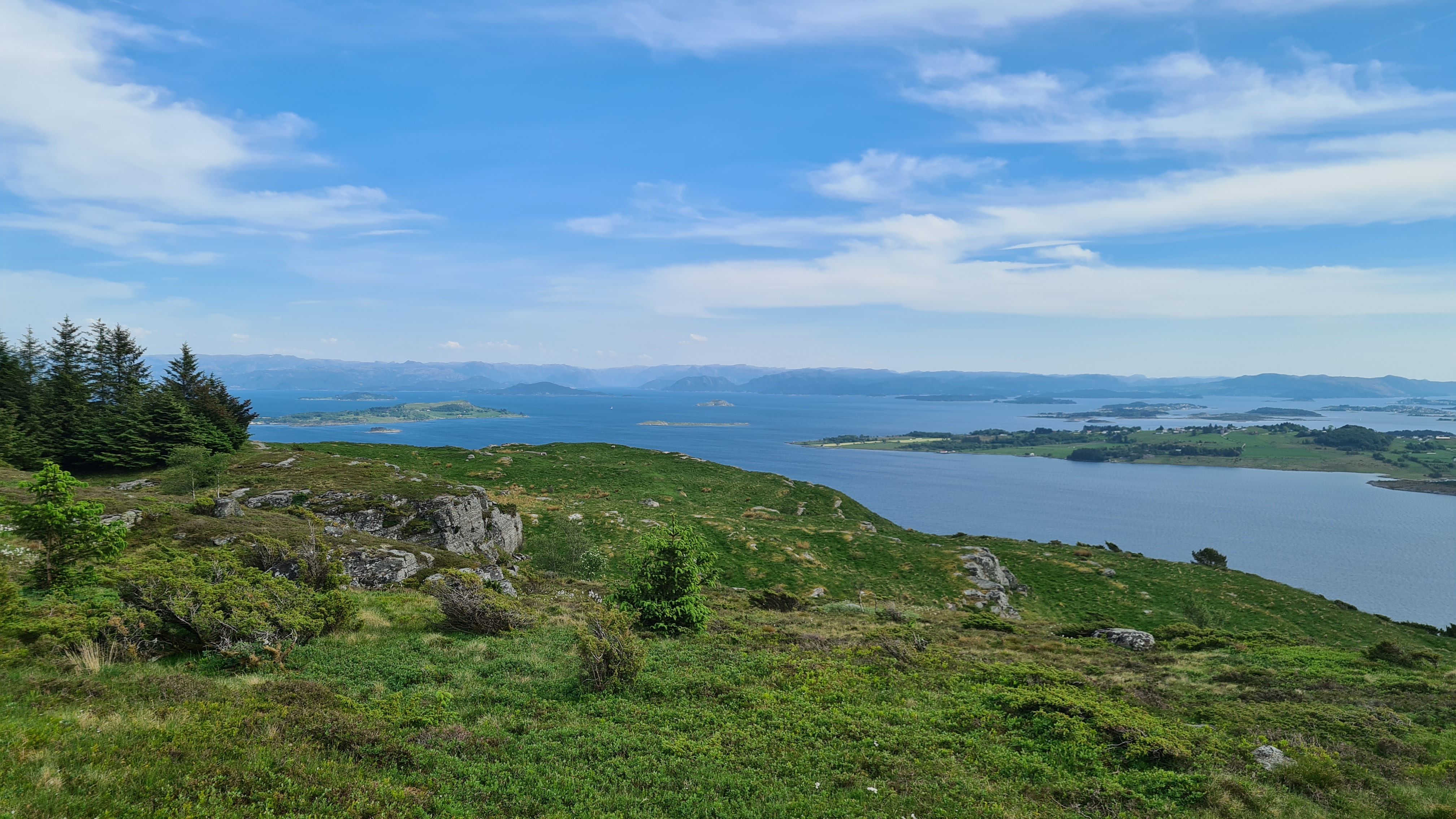
From the lynghei covered mountain, the view over the surrounding islands and fjords is astonishing...
|
|
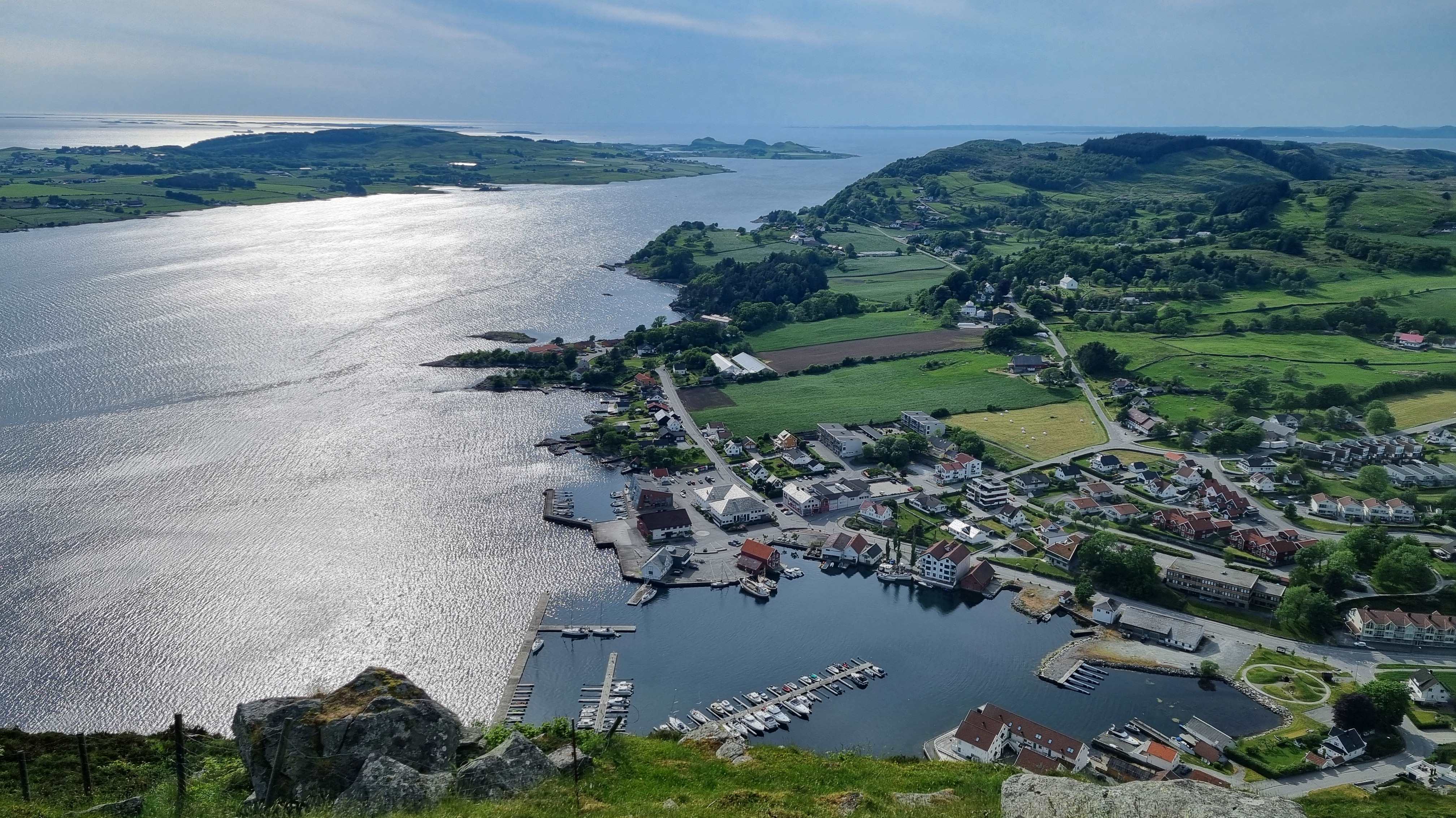
Even though the easterly wind turns around the island, the harbour is still very sheltered. And by the way... where is Saltimbanque?
|
There is even more wind at the start of the evening but we barely feel it in our very good and beautiful shelter!
|
|
| TOP
|
| |
| |
|
23 May : Vikevåg – Haugesund (26 M)
|
|
On the way to Haugesund and the famous channel between the island of Karmøy and the land, known for its strong tidal current and its important commercial traffic. Indeed, the tides are back! Not yet very impressive (40cm at Vikevåg), they will gain importance as we move north. After 9 years in “stagnant” water, we need to get used to tidal streams and water height calculations again!
The Karmøy channel is a compulsory passage on this coast and we try and anticipate wind and tides to reach there at the end of the strong easterly wind. In the end we encounter a variable westerly breeze and need to change sails frequently, from reefed sails and to some engine support...
|
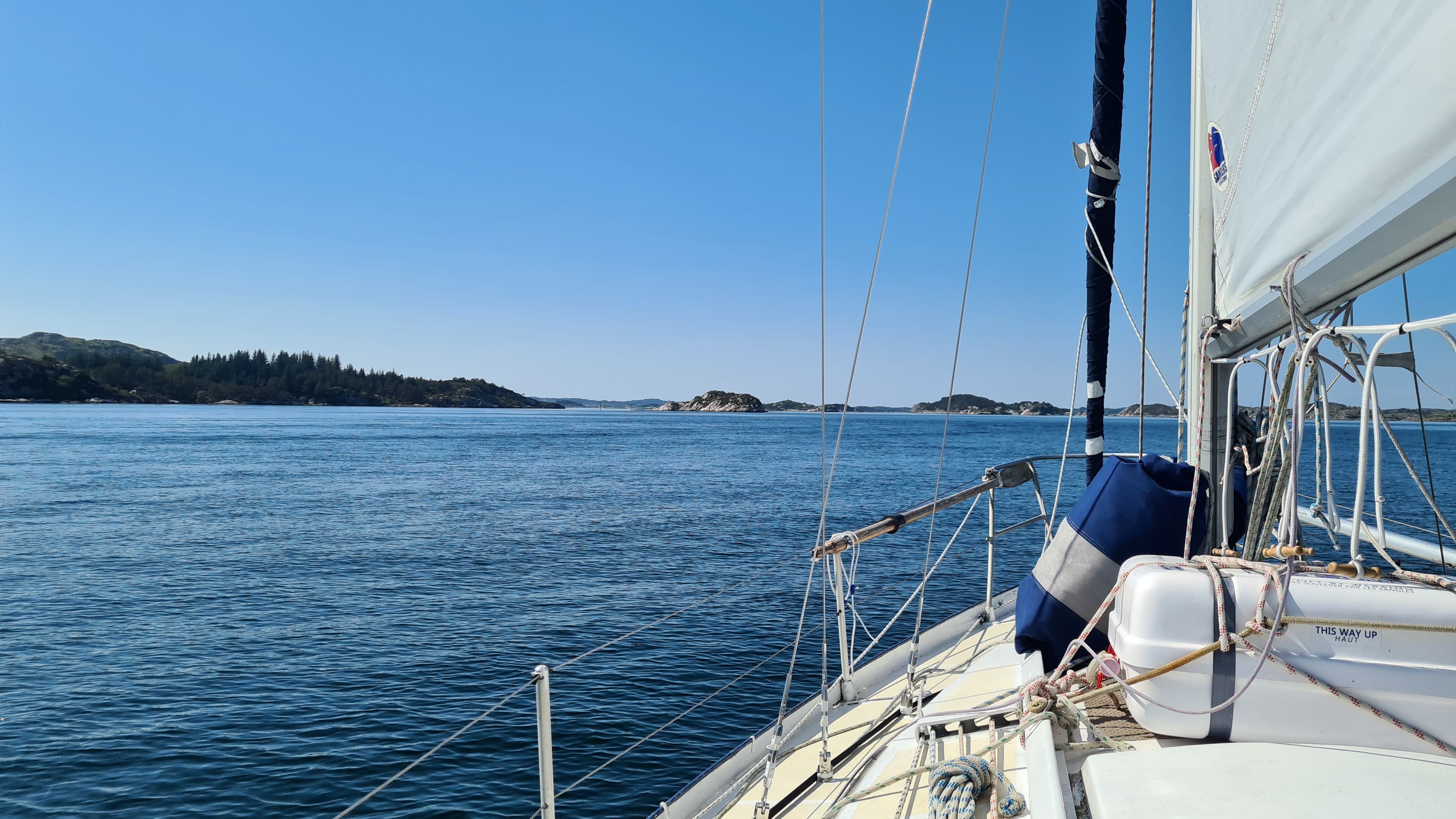
The first part of the trip takes place in a nice skjærgård landscape, that quickly becomes pretty industrial.
|
|
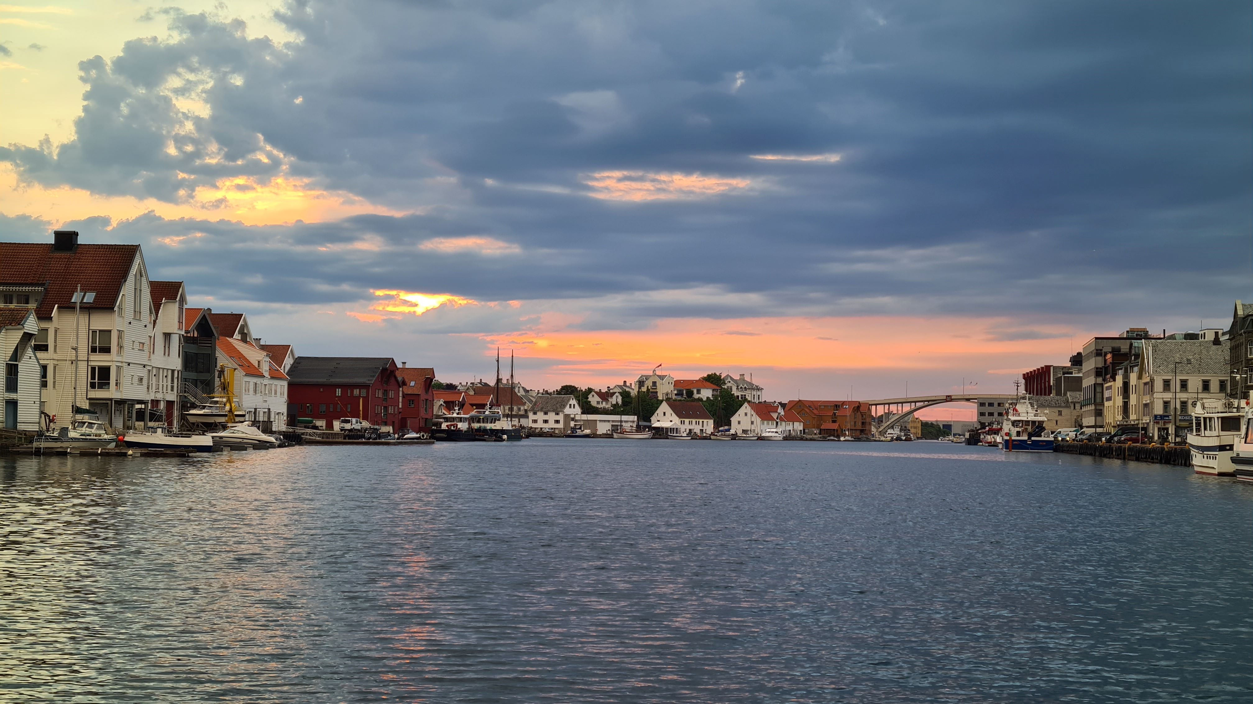
Rainy weather brings nice sunset lights though...
|
The end of summer coincides with our arrival in Haugesund, which takes place under torrential rain, at a very chilly temperature... We will not see much of the city, apart from its very beautiful central maritime avenue where is located the marina. And in particular we will not visit its hot showers, closed for winter renovation… It’s not summer, we said!
|
|
|
24 May : Haugesund – Pilapollen (34M)
|
|
We leave very early this morning under a cold grey drizzle. But, we leave with the stream (hence the early rise…) and a little wind from the South. Does our fair weather sail (the big spinnaker) also work under the rain? Yes it does! And it is more elegant :o)
One jibe later, Saltimbanque enters the Bømlafjord, still pulled by the beautiful blue and yellow balloon, very elegant. We are in the seafaring Norway, where each little bay hosts a shipyard, where most of the ships are working ships (fishermen or small carriers), where one needs to look right and left for ferries before crossing between the many islands, where fish farming invades every corner…
|
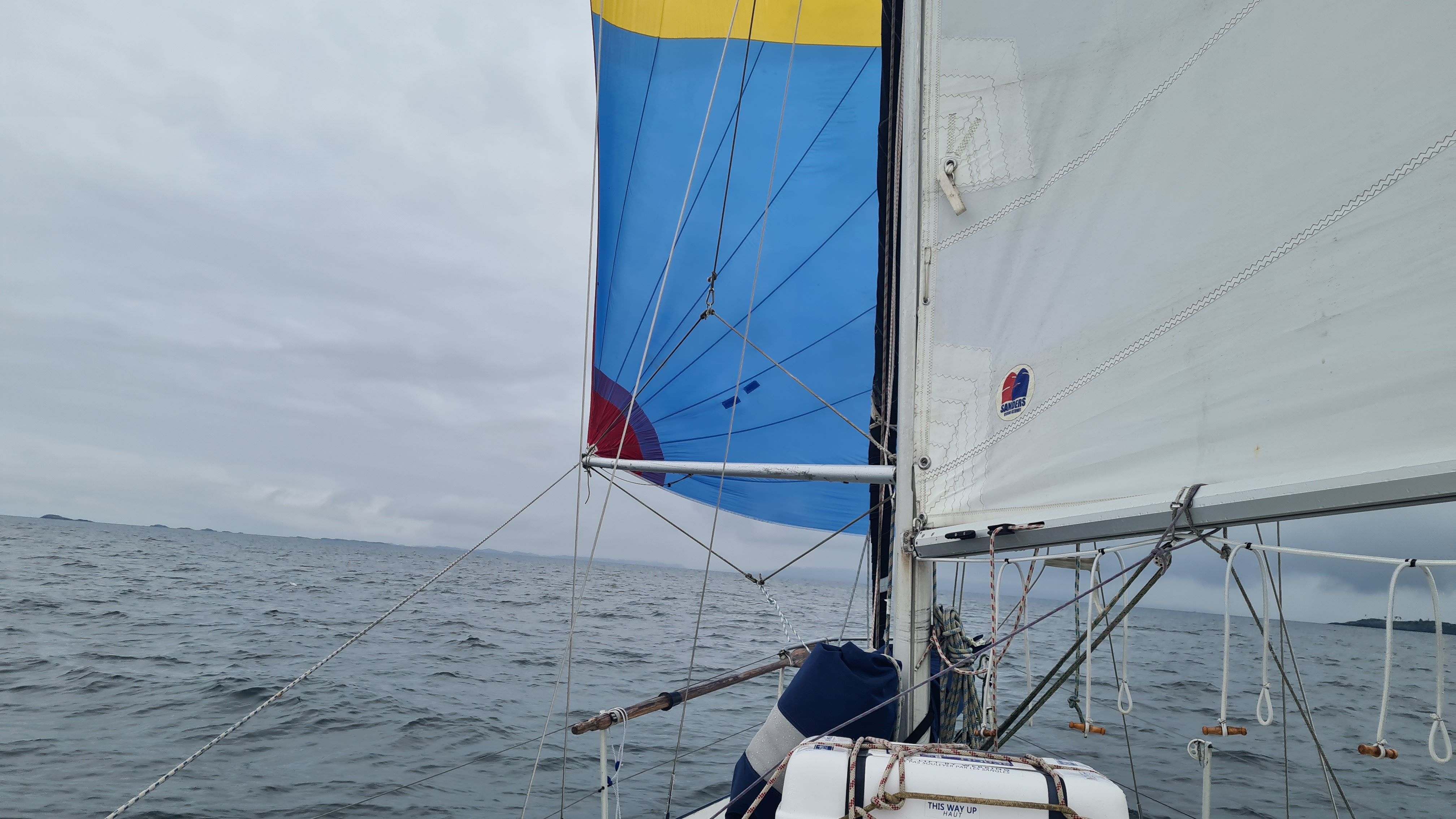
At least the spi brings a touch of colour...
|
|
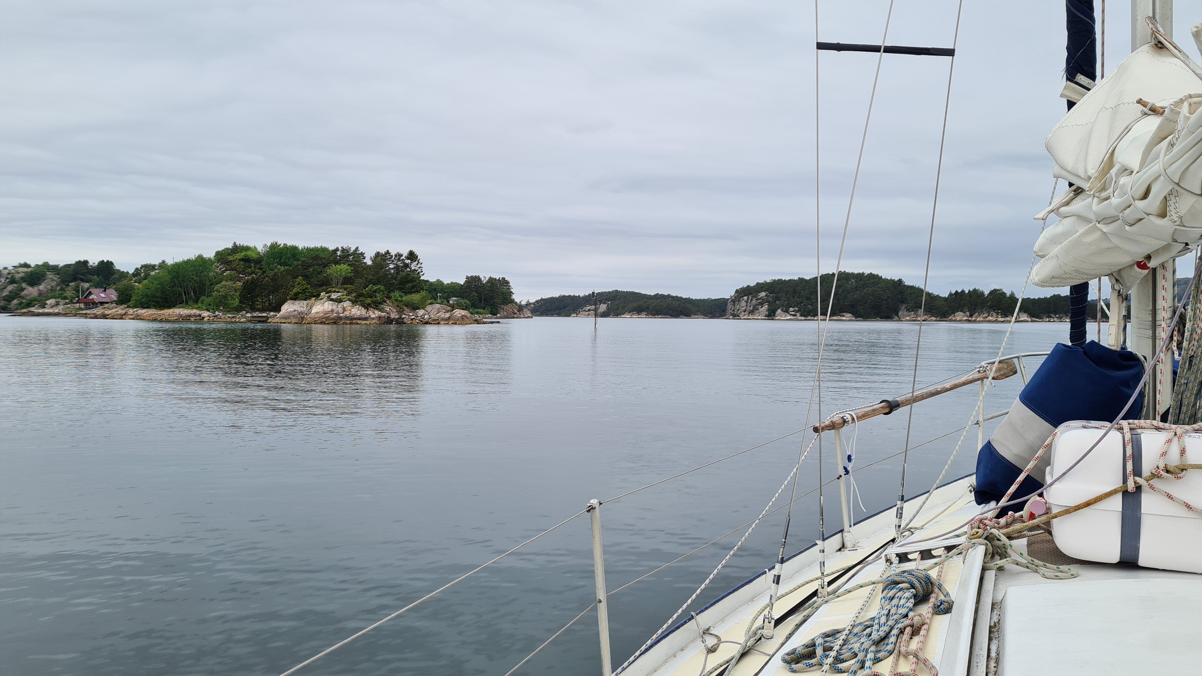
Rocks are slightly whiter here, and covered with pine trees.
|
The spinnaker drops together with the wind, and we continue with the engine between the hundreds of islands which make the archipelago between Bømlo and Stord. The islands are several hundreds of meters high, plunging into the water to similar depths, as we navigate this mineral labyrinth…
|
|
|
It is however possible to anchor in this archipelago (which is not always the case in these quite deep waters). We chose Pilapollen bay for the night. The entrance is a little narrow, but we are getting used to the numerical charts now that we don’t have a choice (we don’t have paper charts for the area). Recording our track is useful to remember where it’s deep, and sail back on the same track on the way out!
|
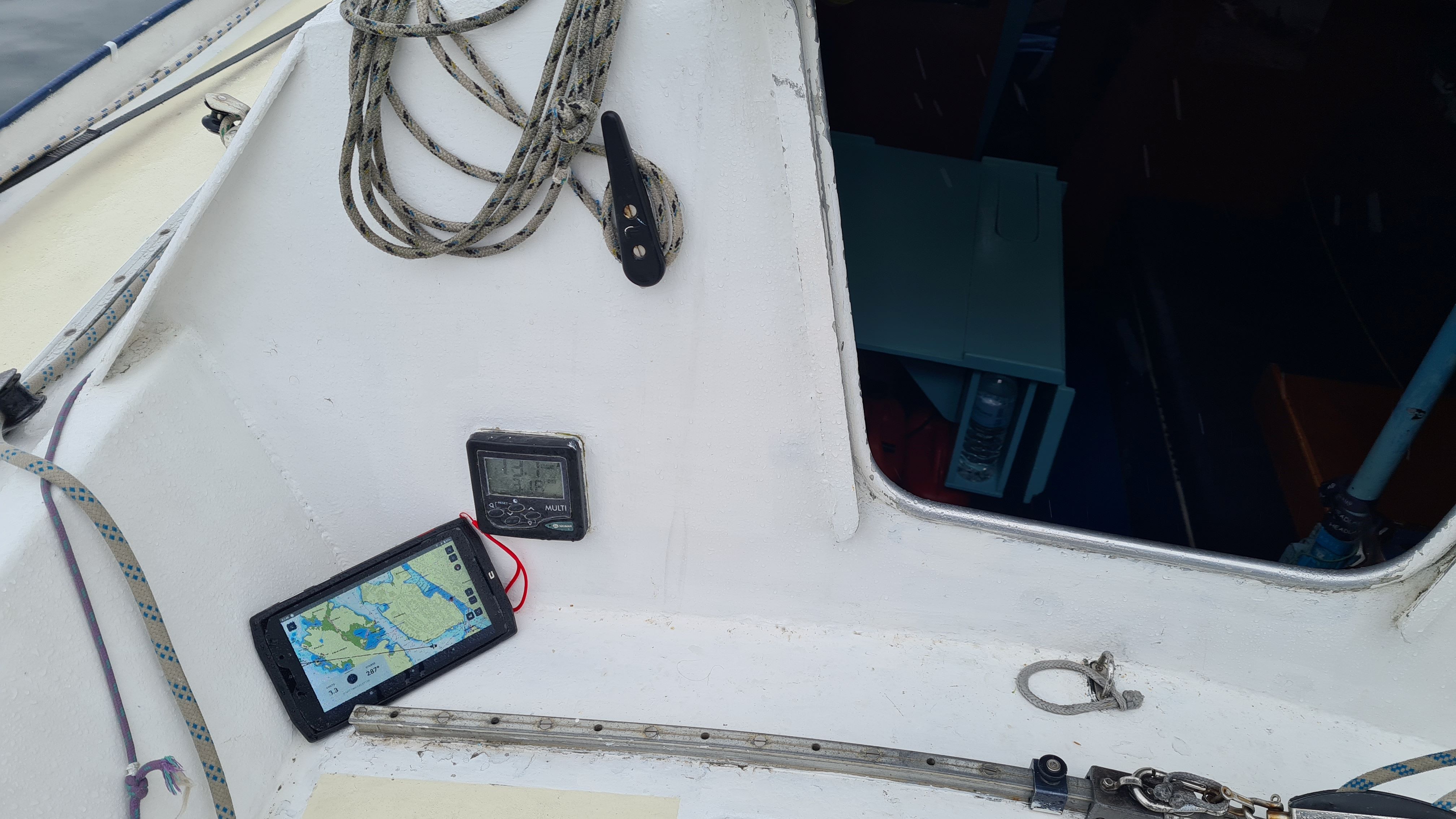
Saltimbanque is now a high-tech boat, with even a look-alike plotter with digital charts !
|
|
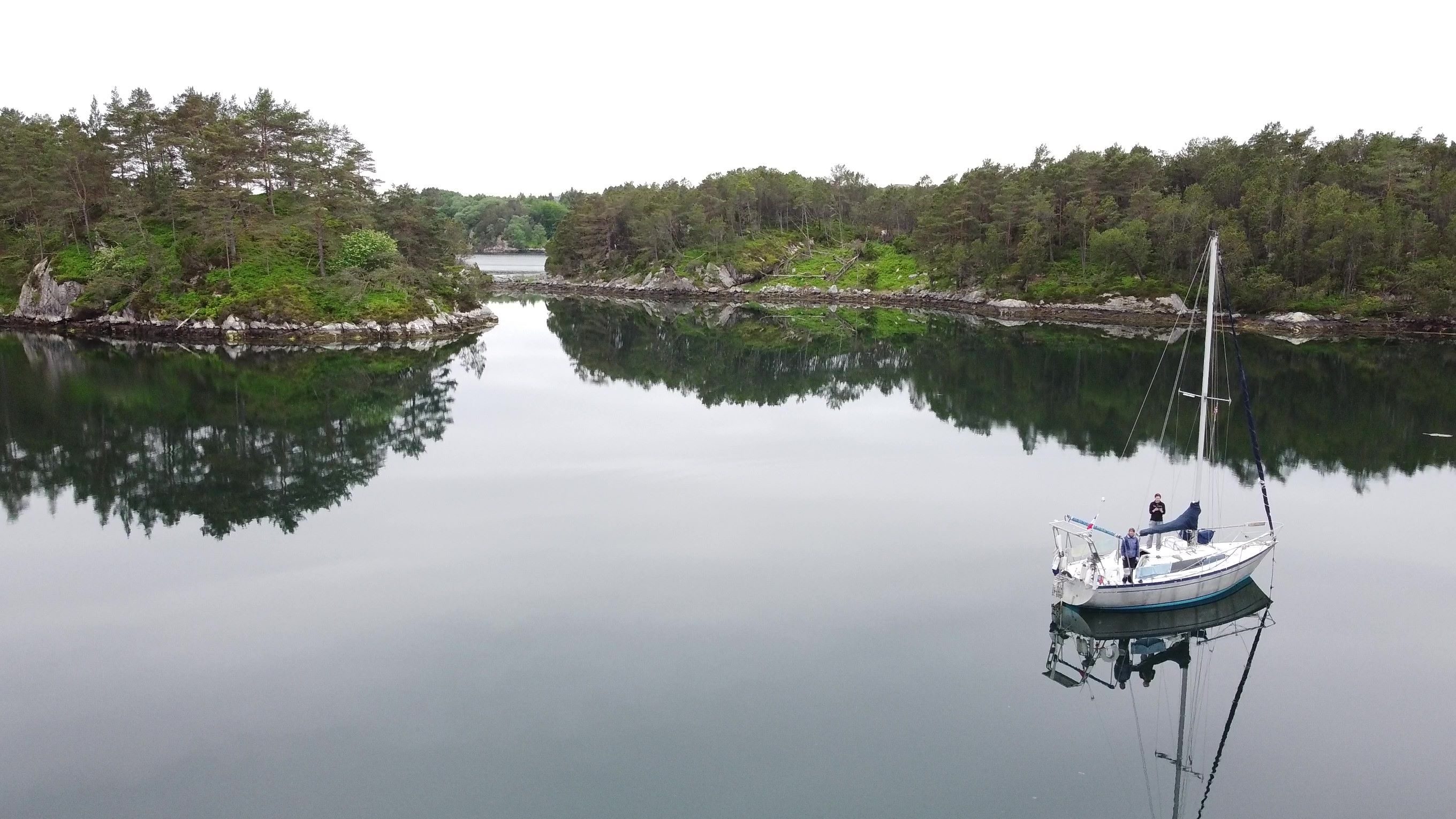
The very beautiful and perfectly round bay of Pilapollen (and we are not too afraid of dragging in this weather!)
|
Once in the little round bay, we drop the anchord in the middle, it’s “only” 10m deep (our limit, since our windlass has two arms and a back which protest against heavier loads). How nice to be anchored again, swinging gently in this beautiful place, surrounded by birds songs…
|
|
|
25 May : Pilapollen - Liaskjæret (30M)
|
|
|
Still little wind on the forecast today, from the north this time! It will be a nice change to tack… The sky is blue again, between two showers, and sailing is pleasant – if not quick. We are in awe of the landscape, the high island of Stord on starboard, Austevoll archipelago on portside, snow-capped summits in the distance, absolutely stunning.
|
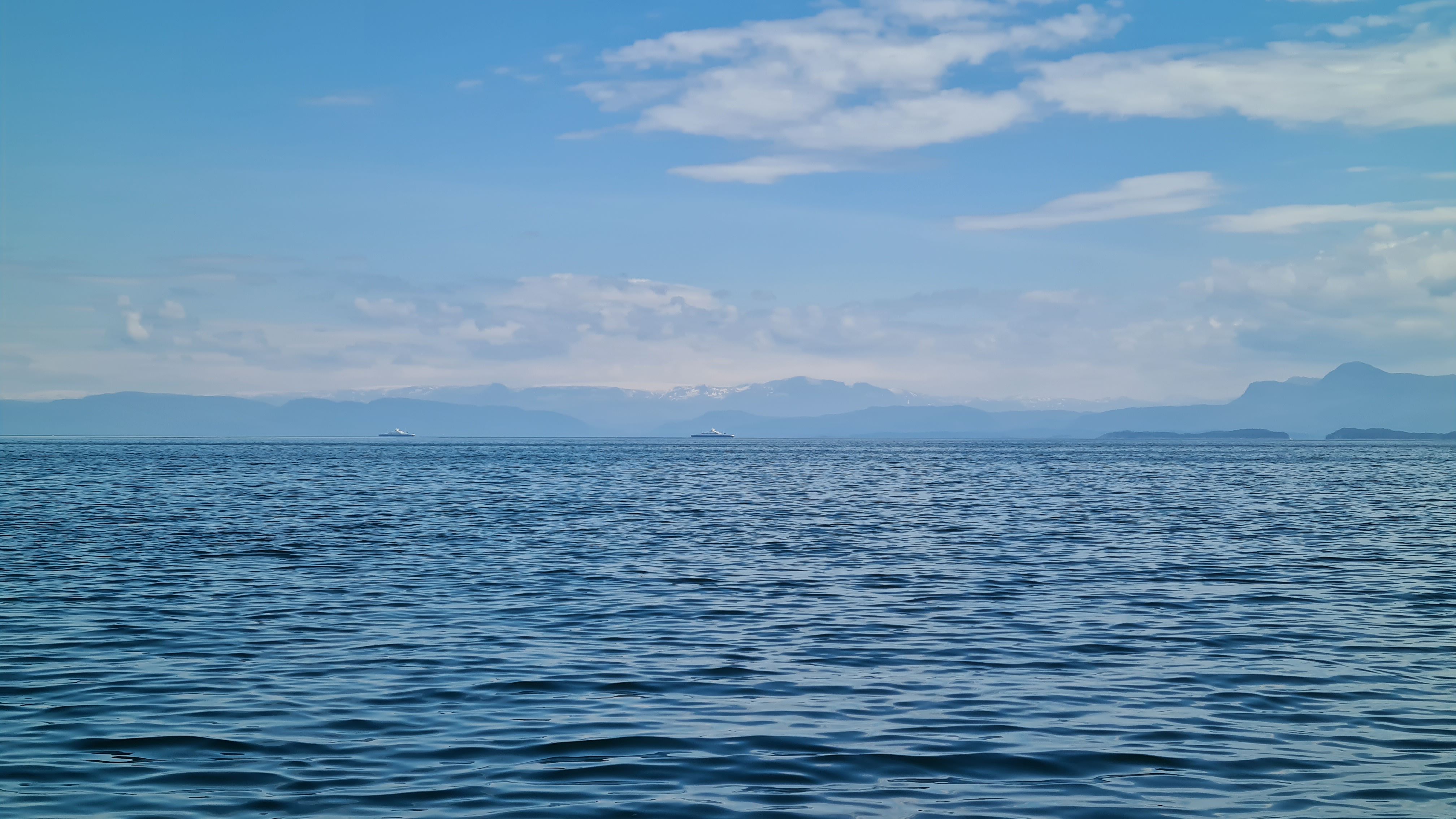
Ferrys linking islands lazily sailing with the Folgefonna glacier in the background.
|
|
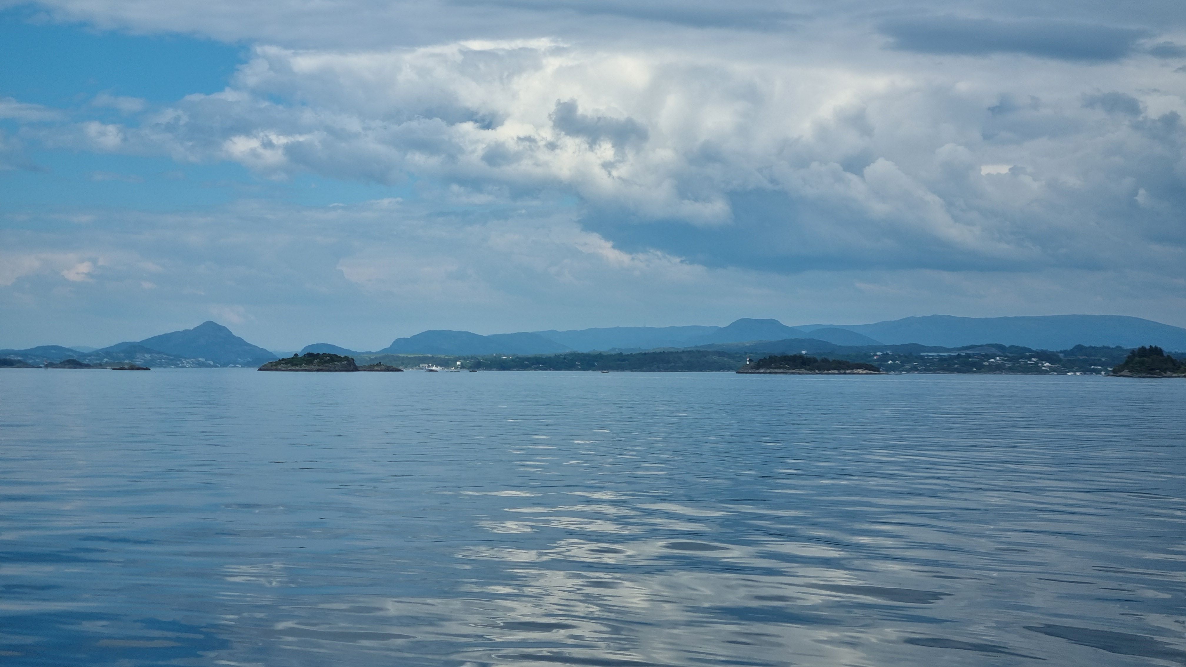
We now recognize the islands and the mountains, we are very close to our goal: Bergen!
|
As we make way to the north and reach the next fjord (Bjørnafjorden), it is almost indecent… for starters, the weather is glorious (although a little calm and we are motoring again), the sea of a transparent blue, on starboard the mountains and Folgefonna glacier are reaching for the azure of the sky, on portside the skjærgård is springled out nicely into the ocean… and ahead – yes, no doubt that’s it – the 3 summits which we would recognize amongst a thousands: Lyderhorn, Damsgårdfjellet, Løvstakken, the 3 first of the 7 mountains surrounding Bergen. “Our” mountains!
|
|
|
We used to live in Bergen 10 to 12 years ago, upon retuning from the Atlantic loop. This city made us fall in love with Norway, so much so that we did everything we could to stay in the country ever since… it’s been 12 years that we have this idea on the back of our mind (and Bretons are stubborn): coming back here with Saltimbanque.
|
|
But sailing into the city will have to wait one more night. As the last of the wind is dying, we are looking for an anchorage. In vain: the first one is too deep, the other one too narrow. We spot a little harbour on the coast of Sotra island. Quick check on the internet: yes, they have guest berths. Let’s go, we need somewhere for the night, it may as well be Liaskjæret.
As it turns out, this is a charming harbor. The service building is still closed for the winter, so we end up “like at the anchor” (meaning: showering in sea water with buckets in the cockpit…). There is a nice open view towards the islands and we even pluck some sea-winkles for dinner! Sometimes last resort solutions are better than expected!
|
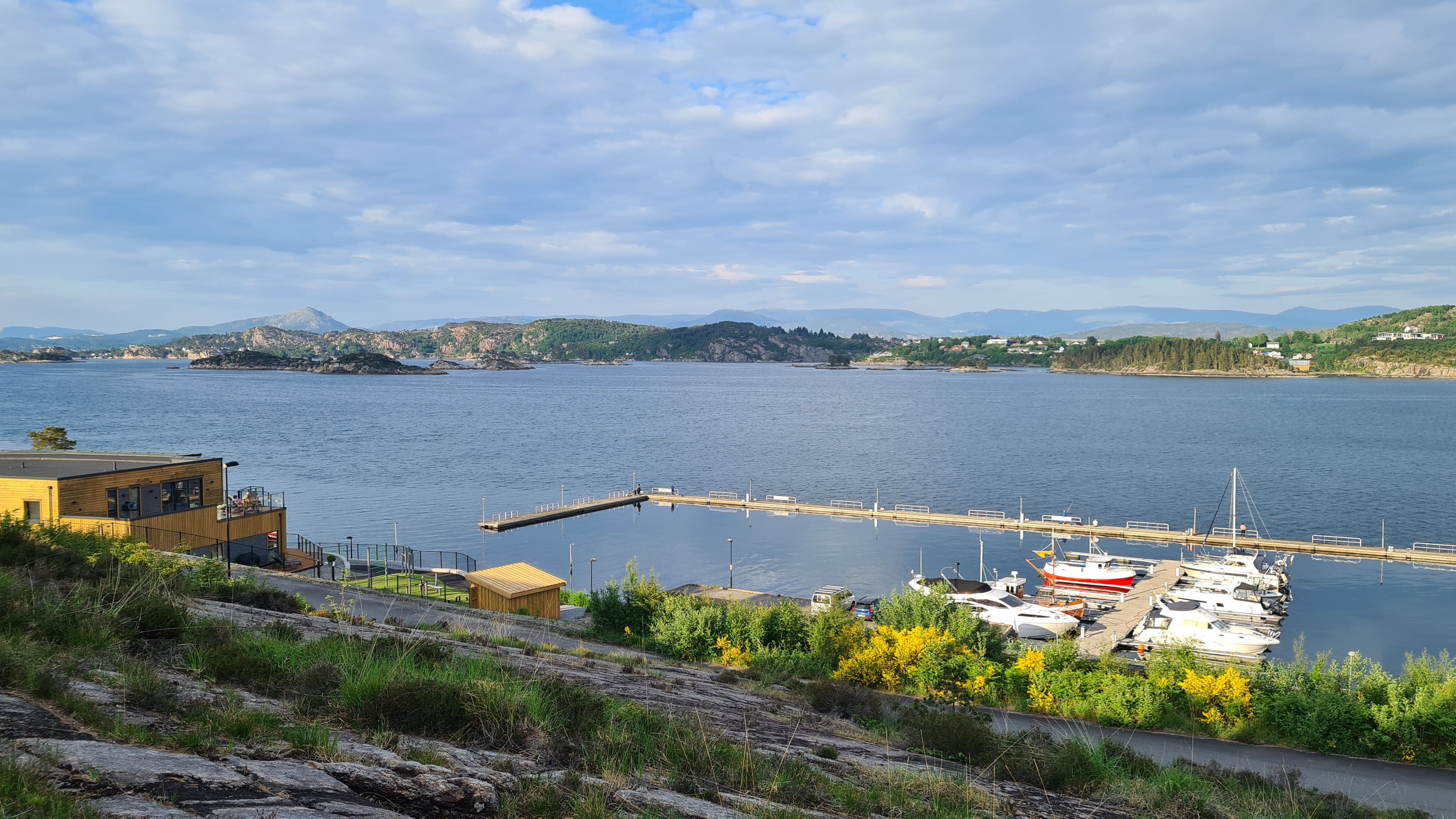
Eventually the stop over in Liaskjæret was very pleasant
|
|
|
26 May : Liaskjæret – Bergen (10 M)
|
|
|
No wind this morning … we kill time by climbing the nearby top, an inviting granite block. The view is worth it. Sotra is a huge island with a peculiar geology, and we play “I spy with my little eye” with the surrounding islands and summits. It is only a little too hot this morning!
|
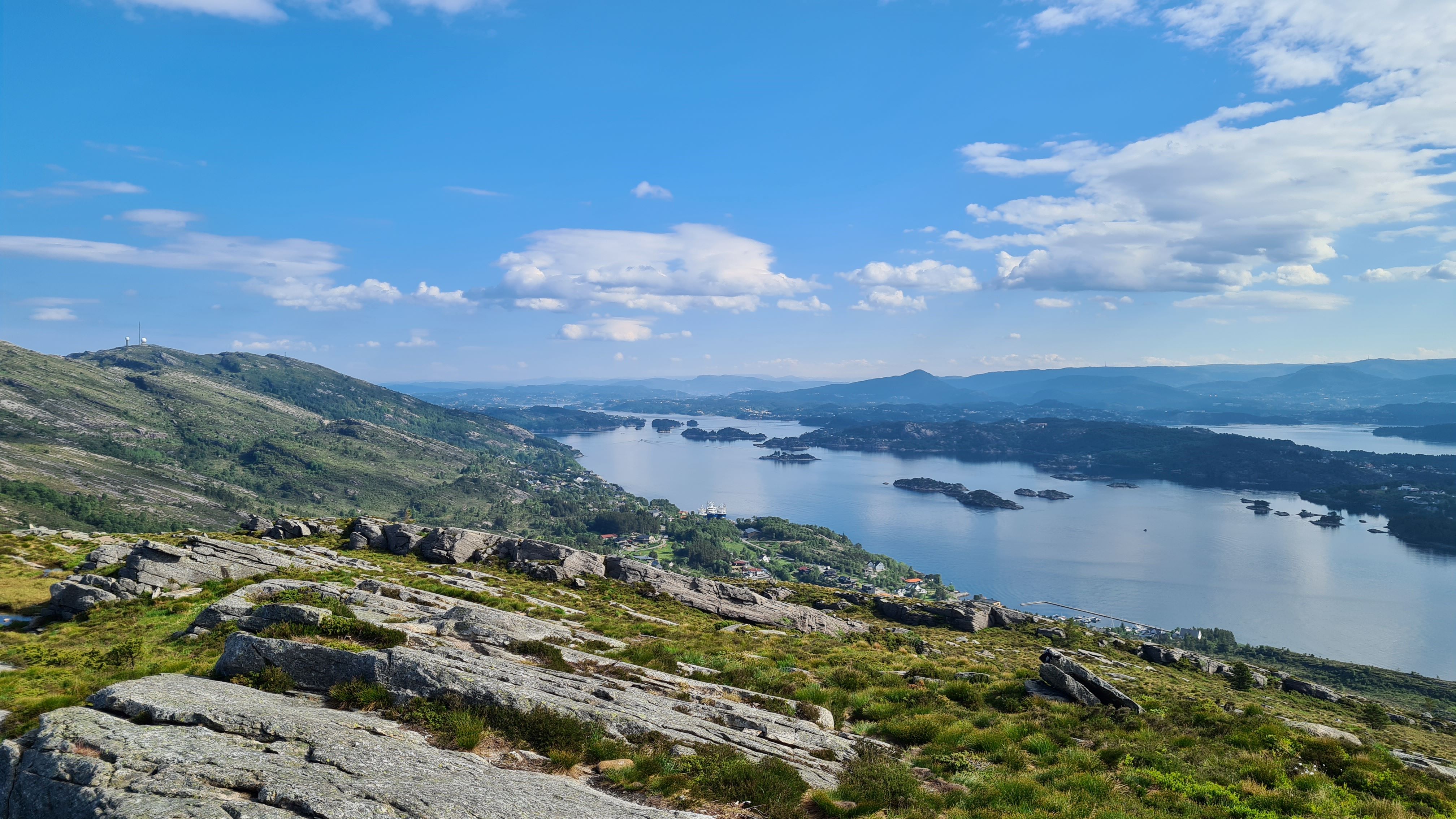
View over the heights of Sotra on the left, and the channel leading to Bergen
|
|

Bergen is unfolding itself, we are almost there...
|
In t-shirts and shorts we start again for Bergen. The wind is kind enough to rise within a short hour, and we can sail under the Sotra bridge (elegance, elegance…)
Already we are in sight of Askøy bridge, and feel the impressive and unpredictable local gusts and lulls in the lee of the cliffs. Then comes our former neighborhood Sandviken, Laksevåg is passing by on starboard, Camille waves towards her former office then checks the time: ah, it’s just over 2pm, it’s Hurtigruten time! And sure enough, the coastal express from Kirkenes is coming full speed from the North…
|
|
We are reaching Vågen, with its entrance obscured by 3 cruise ships and half a dozen supply vessels. Slaloming between the ferries we reach Brygeen. Everything is so familiar, and yet so different approaching from the sea! Zacchariabryggen is free, we tie up to big tyres which protect from the old stone quay, with our bow looking up to Fløyen.
Now it’s real: Saltimbanque is in Bergen!
|
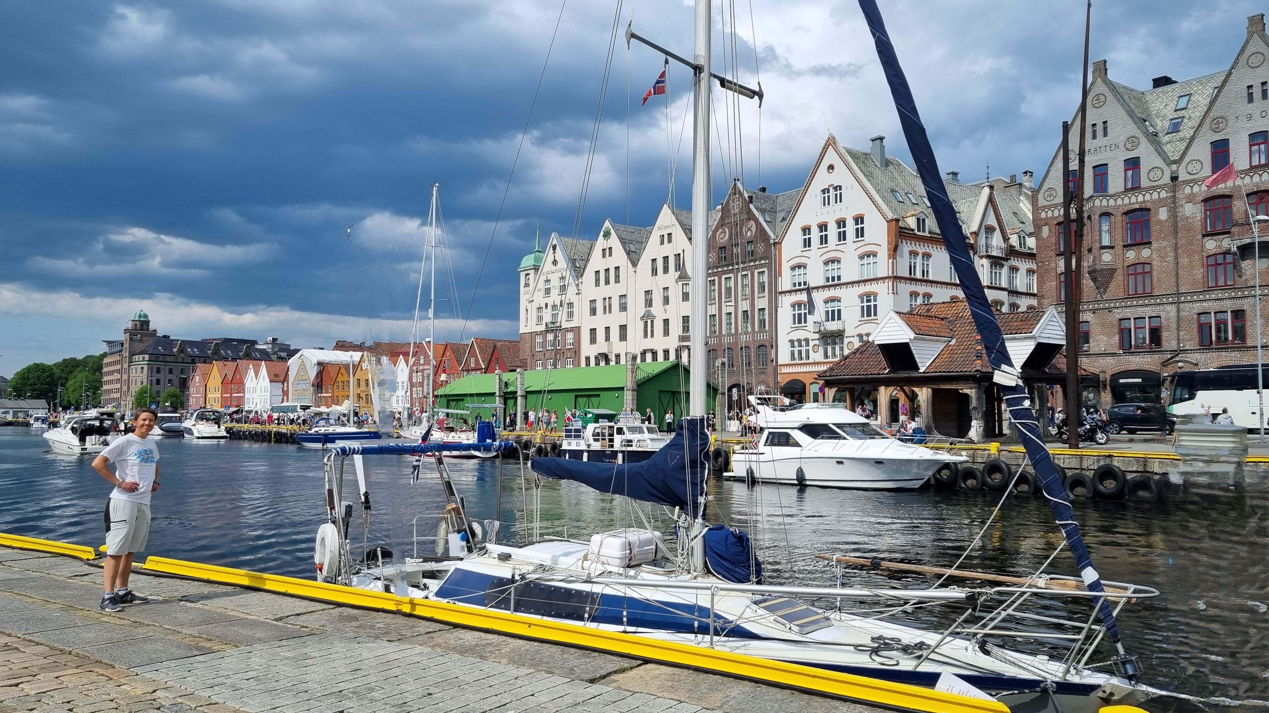
We did it !!!
|
|
|
27 May : Bergen (on shore)
|
|
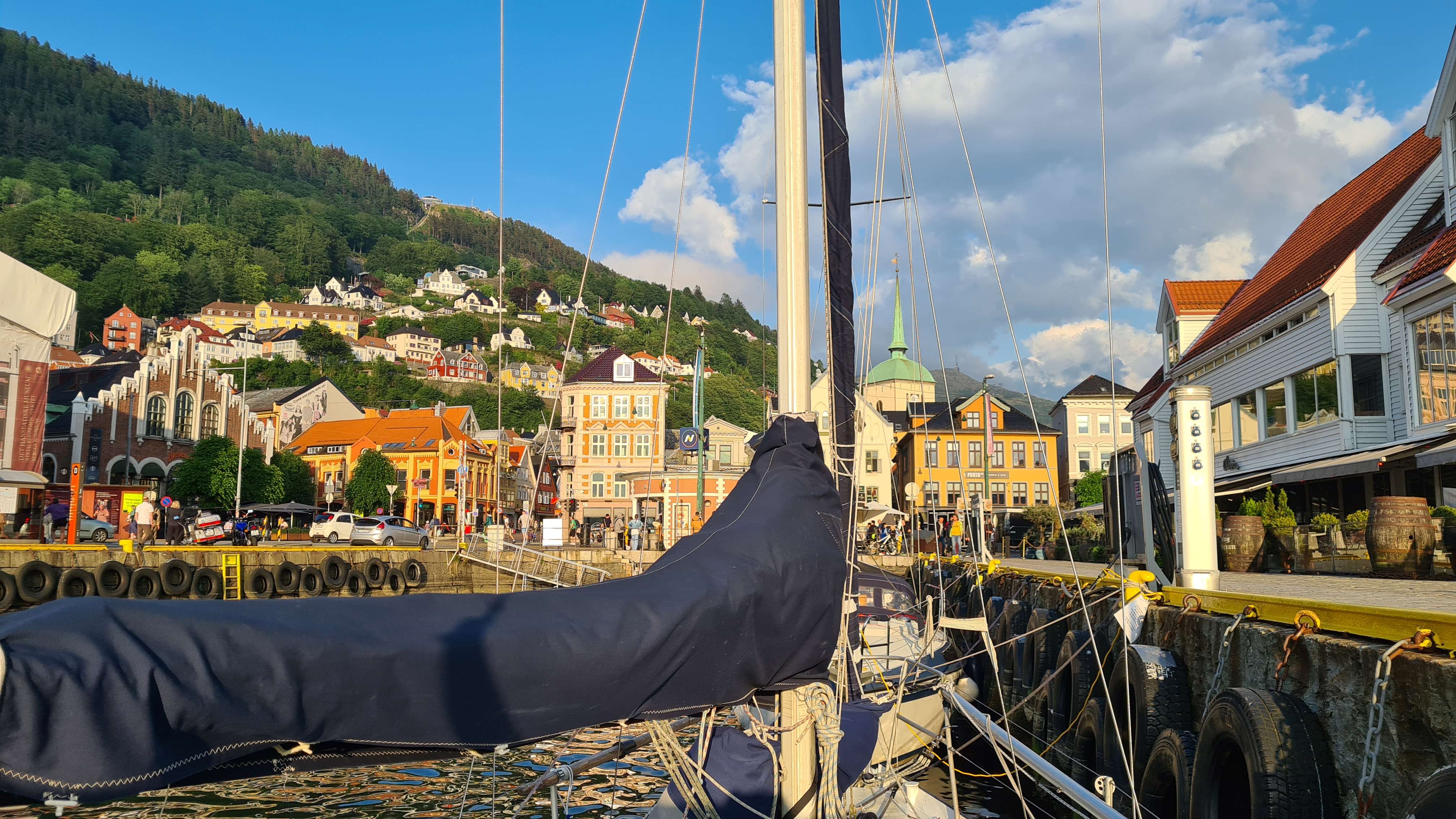
Bergen...
|
Bergen is still beautiful… and it is known! The tourists season has started, and our boat proudly moored in the historic centre by the iconic old wooden houses ends up on pictures Instagrammed all over the world.
|
|
|
Bryggen and the fish market are objectively superb, but we prefer our own Bergen, the paths and streets we used to walk when we lived here. Laure enjoys her former weekly run: up the stairs on Stotzekleiven (300m elevation), then back down Skredderdalen (a challenge for the ankles). Camille’s choice is a quiet walk amongst the rhododendrons bushes in Fjellveien.
|
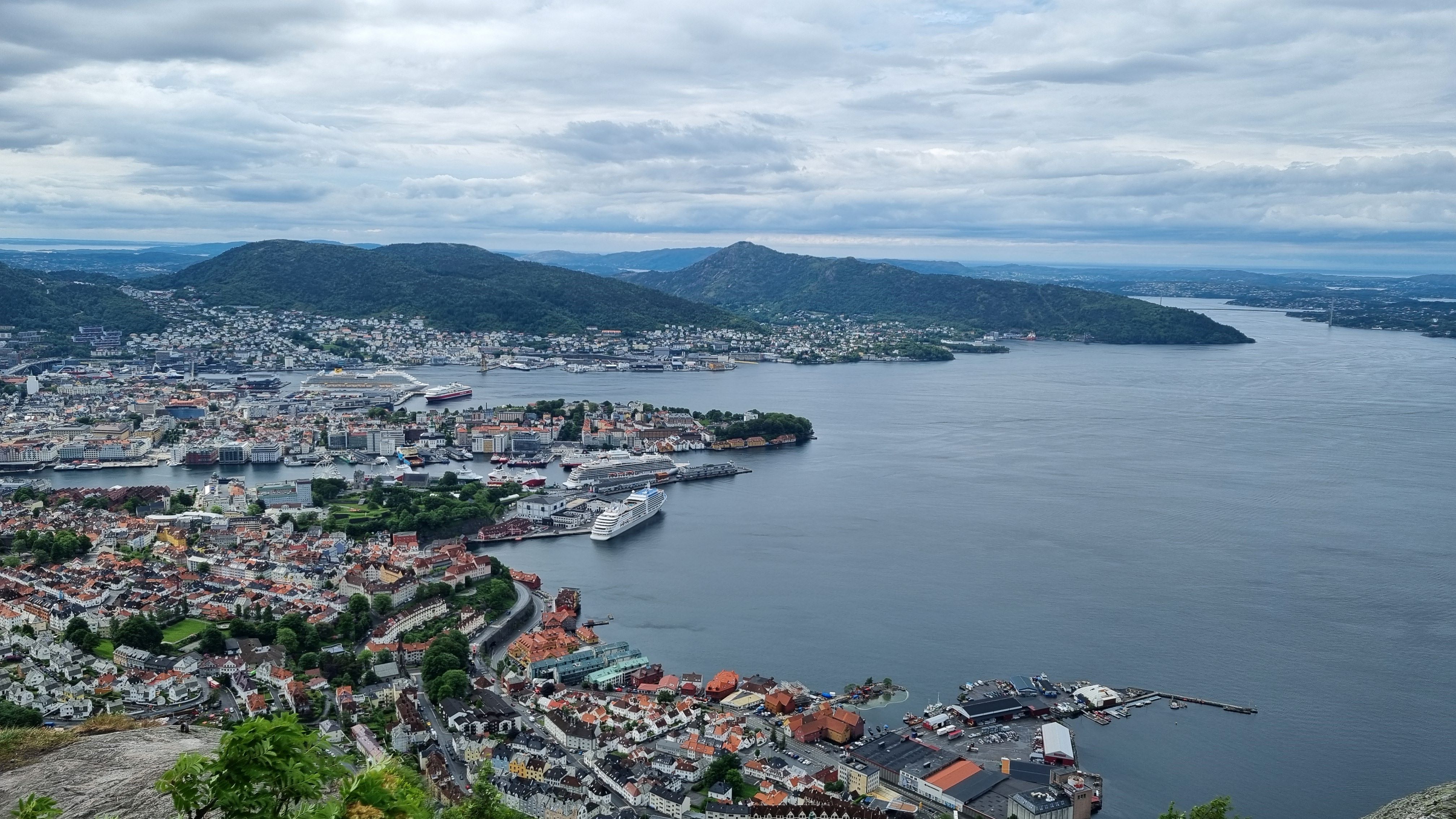
The well-known view from Sandvkisfjellet.
|
|
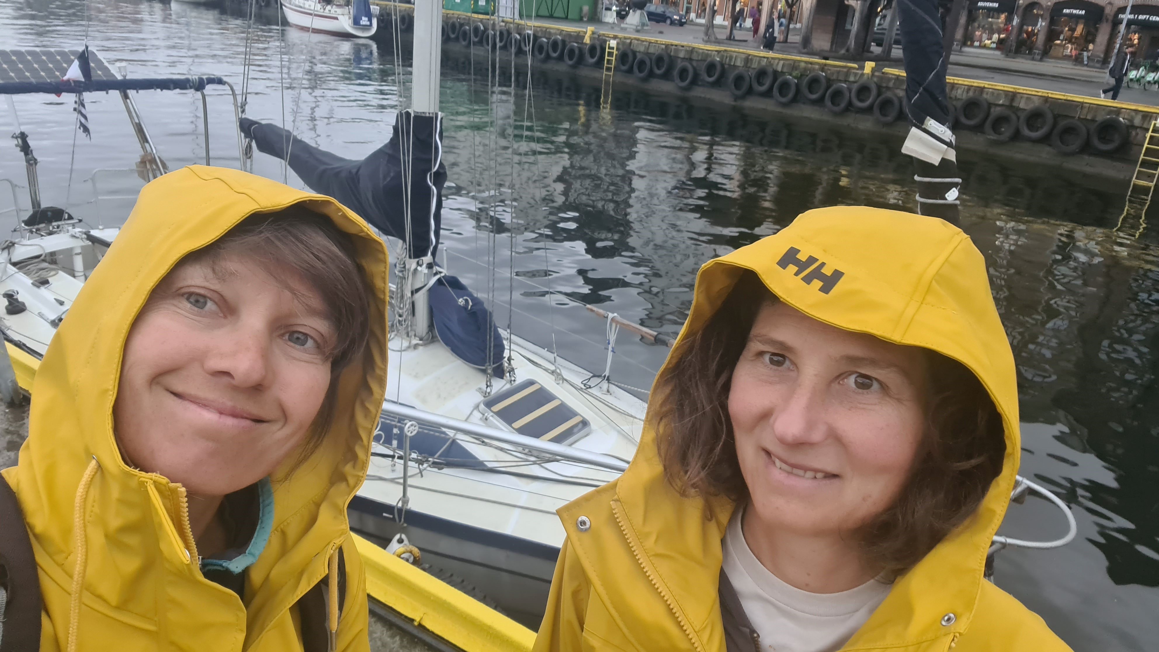
Right, it may rain every now and then... but it's still beautiful under the rain!
|
Lunch is a fish soup at “søstrene Hagelin”, then we have some errands to run. Including … an umbrella! (Indispensable attire in Bergen, and useful to cover the hatch during the -many- showers!)
|
|
|
At the end of this pilgrimage day, we select one of the harbours restaurants for our traditional pizza. Since our first transatlantic crossing, this is our signature pre-crossing dinner… and we are not superstitious, but … well, you never know… Our sights are already set towards our next destination: the Shetland…
|
|
|
28 May : Bergen – Herdla (16M)
|
|
|
There seems to be a weather window in a few days, even if the forecast is not certain yet. To maximize the chances, we leave the sheltered city centre and sail outside of the skjægård, ready to leave for the open sea.
|
|
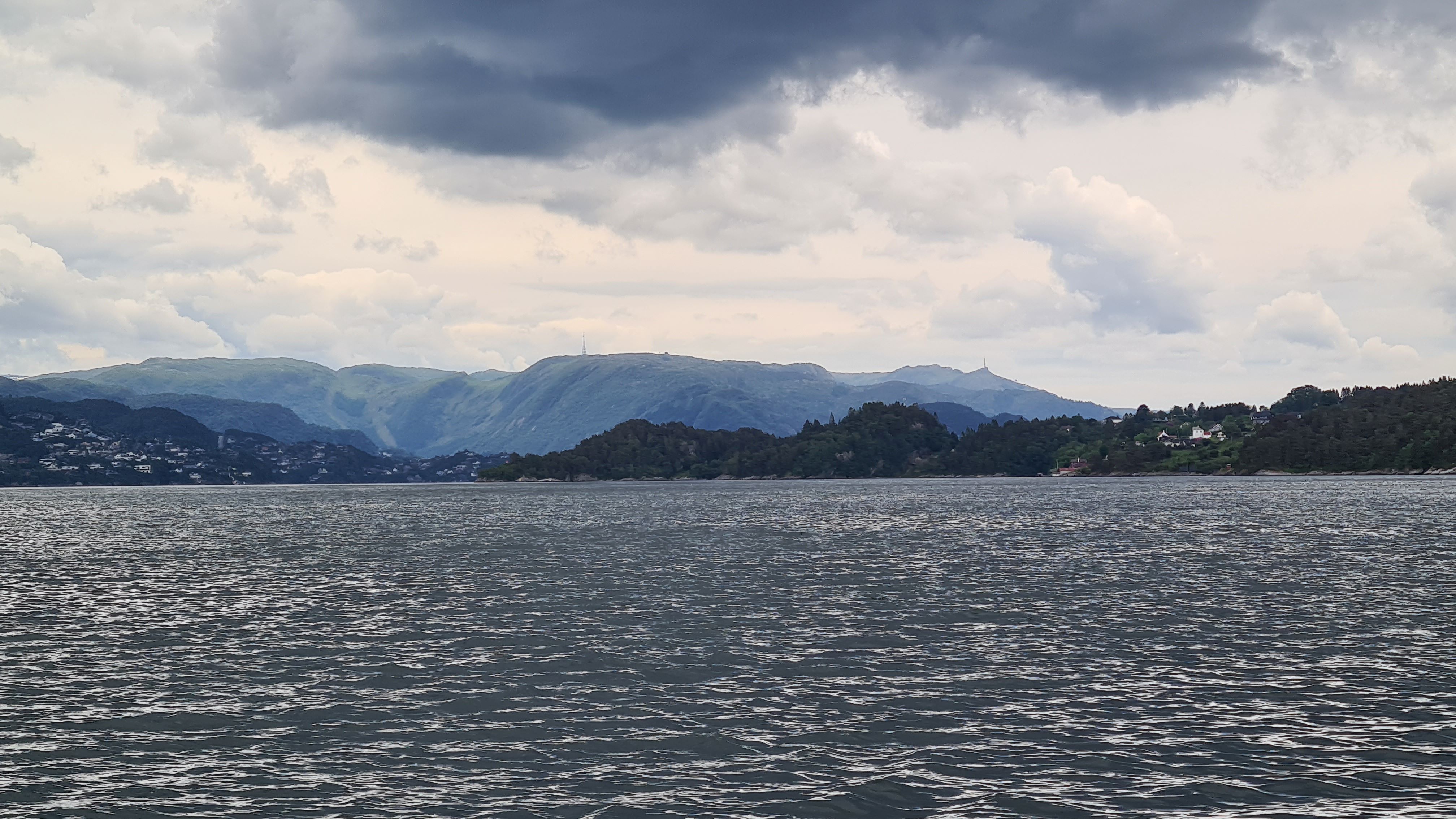
Farewell Bergen, and our dear Rundemannen top...
|
Heading for the North of Askøy island, more specifically Herdla, actually the exact same spot where we paddled on one of our very first kayak tours 10 years ago. It’s a simple enough trip with some southerly wind and some local gusts. We pass the coastal express right on schedule, but we are more surprised by a submarine sailing back and forth in the channel! Friendly soldiers wave at us and smile, our presence must be ok then!
|
|
|
The harbor we are aiming for is set in a small round bay, where there is a short municipal quay, open for free use (only water and power are for charge). The place seems to be used mostly by camping cars, but it’s still off-season so everything is perfectly quiet.
|
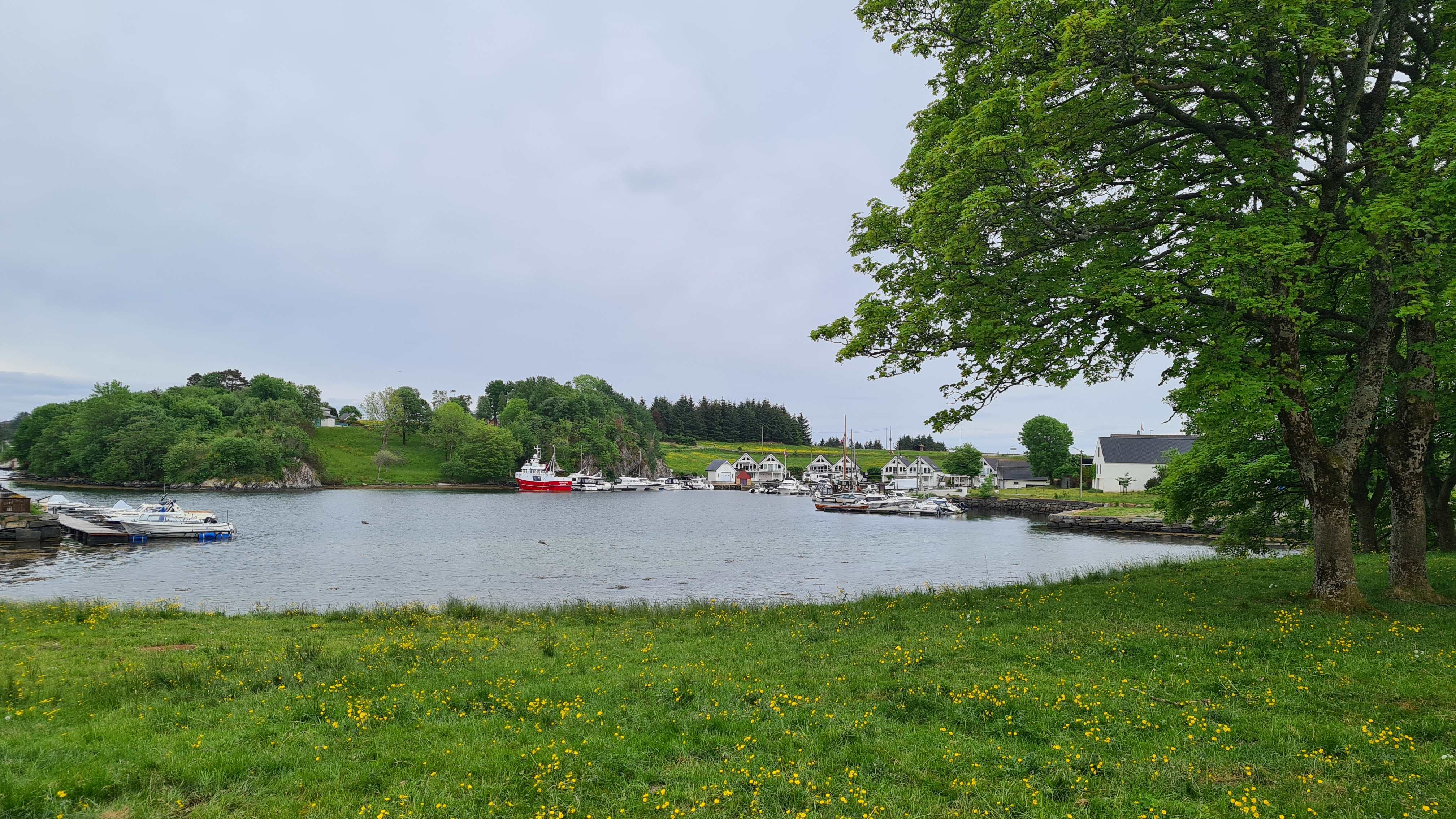
The loneliness here contrasts with the boiling agitation of the city center in Bergen!
|
|
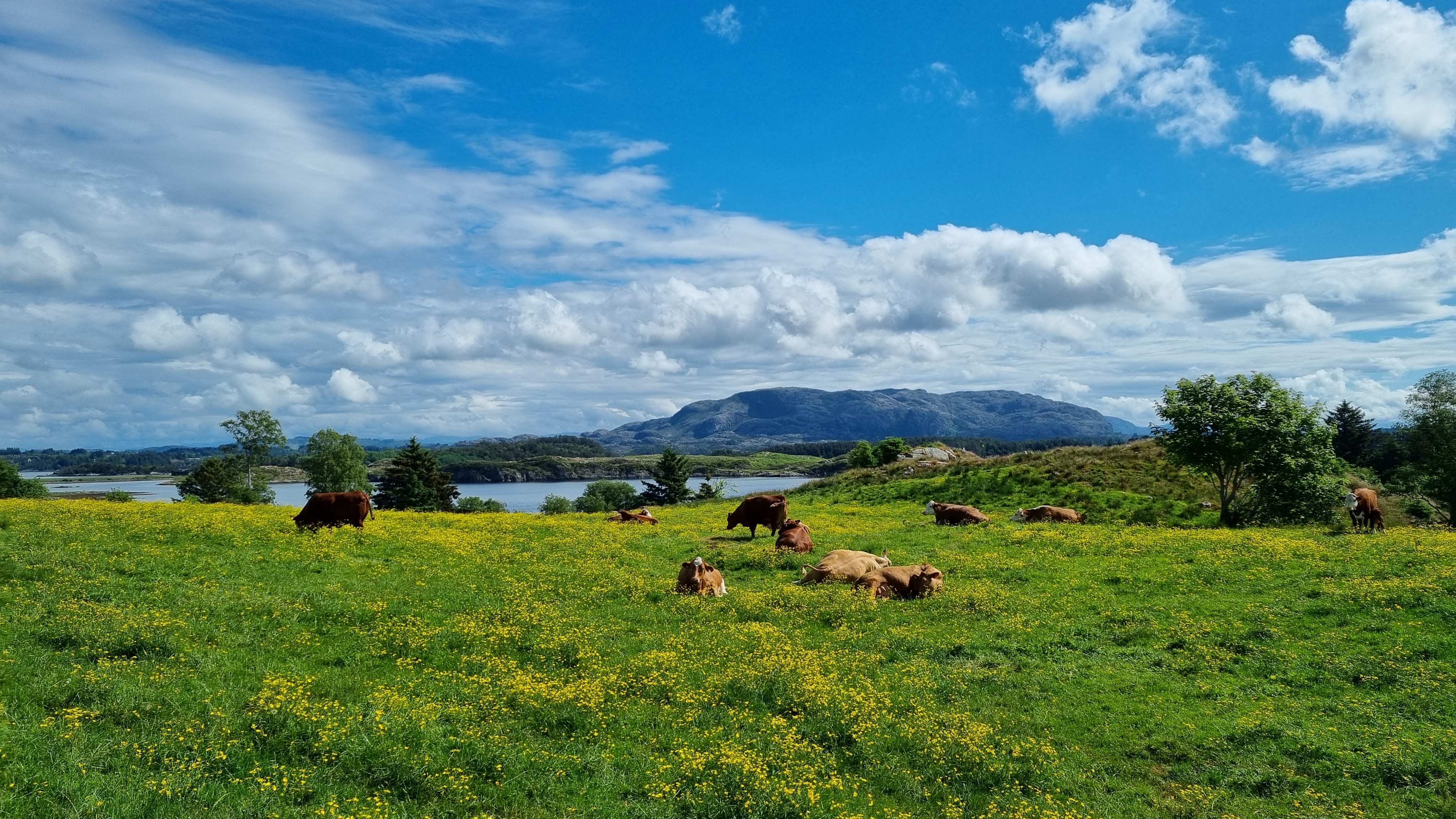
It will soon be time to leave the cows behind and meet the seabirds...
|
Herdla island is home to a few interesting historical remains, and an important bird conservation area where over 230 bird species have been counted. Very nice stroll amongst birds and cows, looking out to the Norwegian skjægård. Then back to the boat, to study the weather forecasts again… it is not the easiest window ever, but it will be worse afterwards. So, we will leave for the Shetland tomorrow, the longest crossing planned for this trip…
|
|
| TOP
|
| |
| |
|
|
|
|
|
|
| |
| |
| TOP
|
| |
| |
| |
| |


